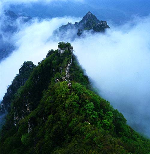
从天际到大海--约跑加州大盆地红木公园35哩图记 大盆地红木公园(Big Basin Redwood State Park)是加州著名风景区之一,但凡游览旧金山两日以上的游客,去大盆地欣赏高耸云天的红杉树,是必修的功课之一。
在这个占地面积达19000英亩的森林公园中,纵横交错的步道,长短不一,不计其数。但是,对于户外运动的发烧友而言,最为吸引人的一条步道无疑是--从天际到大海(skyline to the sea)。顾名思义,这条步道是从海岸山脉的至高点起始,沿着9号州级公路以及236号县级公路,顺着山脊棱线,盘旋俯冲而下,穿越整个大盆地红木公园,最终抵达太平洋之滨。
2012年6月9日,湾区华人长跑会的跑友10人约跑skyline to the sea步道,计划早6:15AM出发,沿步道跑至china grade路,原路折返,全程约20英里。
这条步道全长29英里,曾经与友人全程徒步穿越一次,携小儿辈半程徒步穿越一次,独自半程徒步穿越一次,但是从未尝试在这条步道上奔跑!机会难得,区区20英里如何能够满足跑步菜鸟发烧友的那颗狂野之心,于是决定今次多跑10迈,怎么着也得混个50K之类的整数。 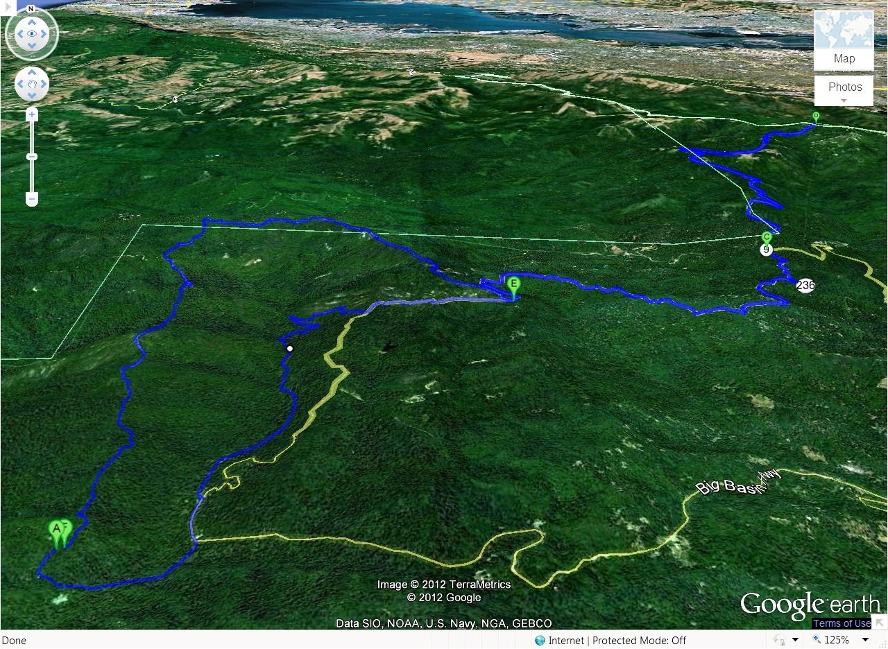
此即为计划路线图。图中E点是大部队与独行客的分水岭,左侧中半数以上的路径从未踏足过。 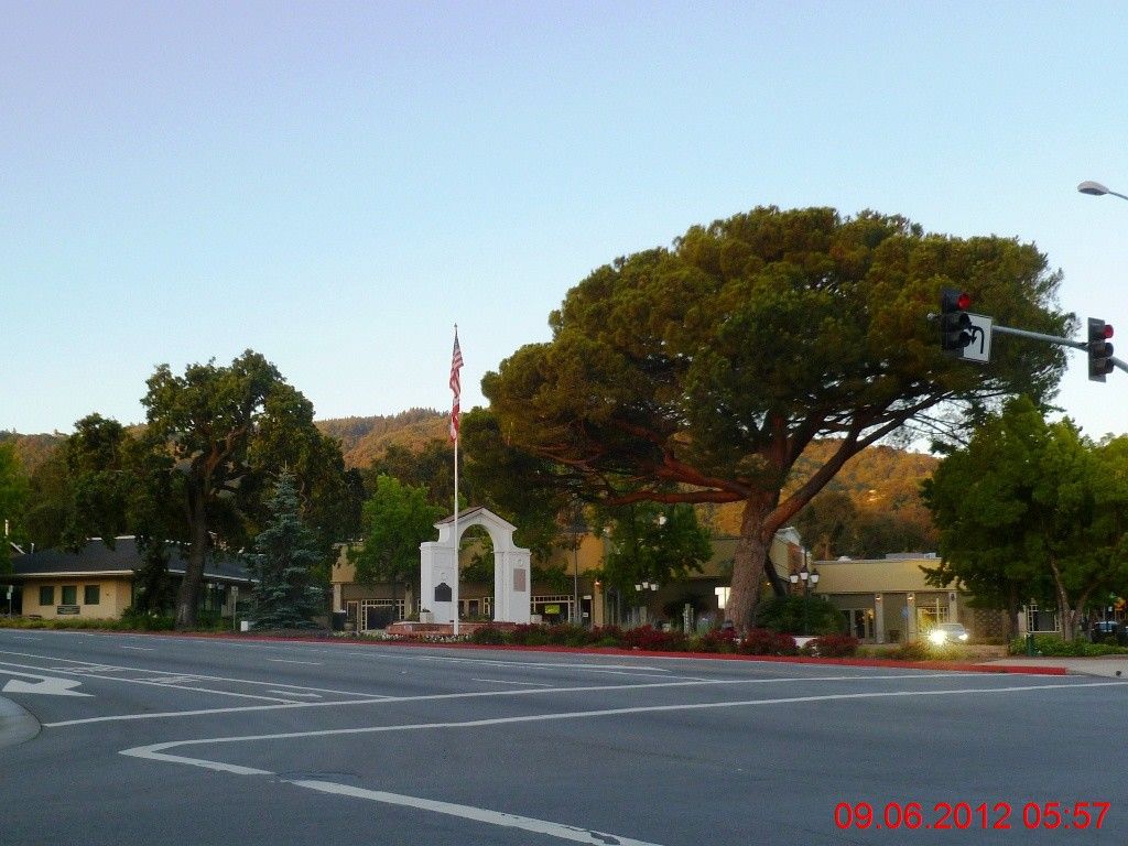
早5:30驾车出门,近6时抵达圣塔克鲁斯山下的小镇Saratoga。该镇以历史悠久,居民富有而著称。衡量北美某个城市是否富有的一个重要标志是--是否依山傍水。 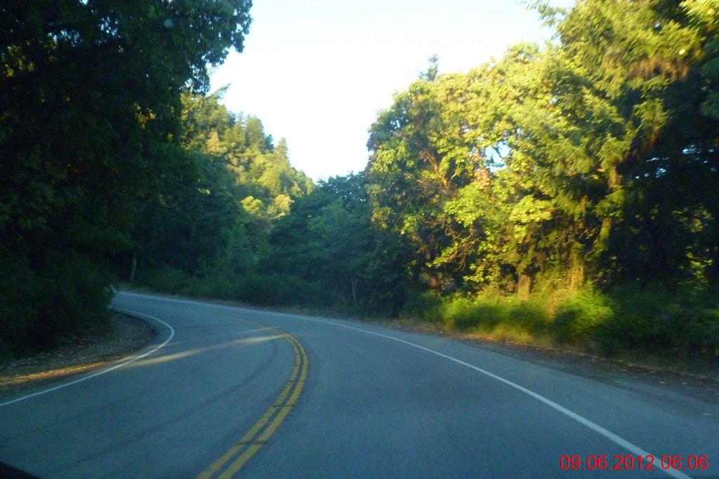
9号公路穿过Saratoga,穿行在密林之中。9号公路是骑车发烧友们进出圣塔克鲁斯山脉的一个主要线路之一,每天都有大批骑客在此骑行,驾车人士当十分小心。 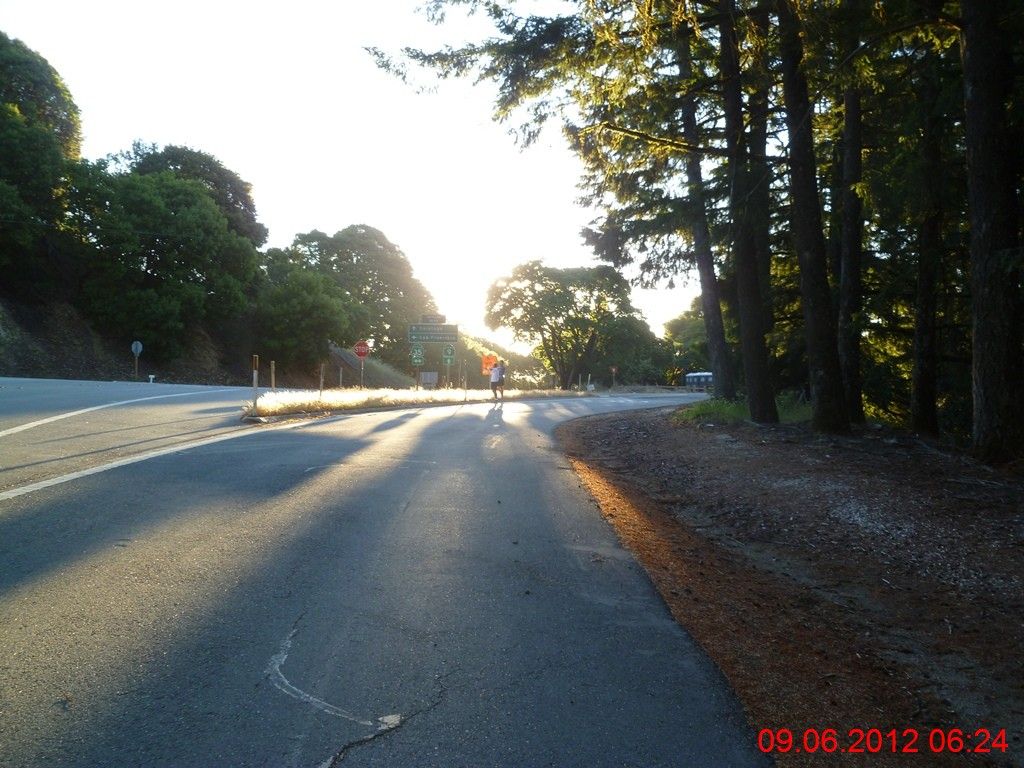
抵达35号与9号公路交叉口的停车场,已经有半数跑友先期到达。6:24AM开跑。仅仅比预定时间晚出发不到10分钟,这一次俺没有拖累大部队的后腿,非常难得!上来就是一个下马威,小李的运动手表找不到信号,只好站在十字路口上仰望星空,45度角地祈盼那一绺飘渺的卫星信号从天而降。。。 
然后就是俺这笨蛋带错了路,沿着9号公路跑了200米,一直到前面的拐角处才发现大部队都在大路下面的山坡上穿行,滞后的三人小分队只好回头跑回起点,下到小路上猛追前面早已不见踪影的大部队。接下来的路程,据坊间传闻,迷路成为了常态,前后迷路了4~5次之多,此是后话。 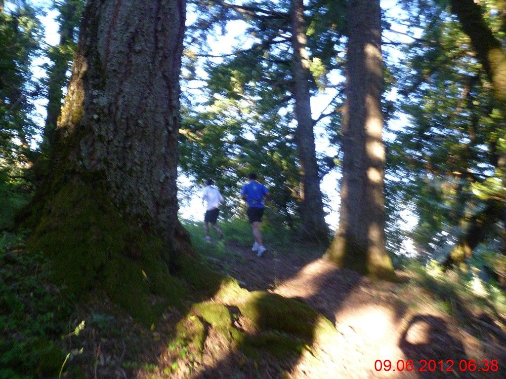
三人小分队猛追大部队的途中。 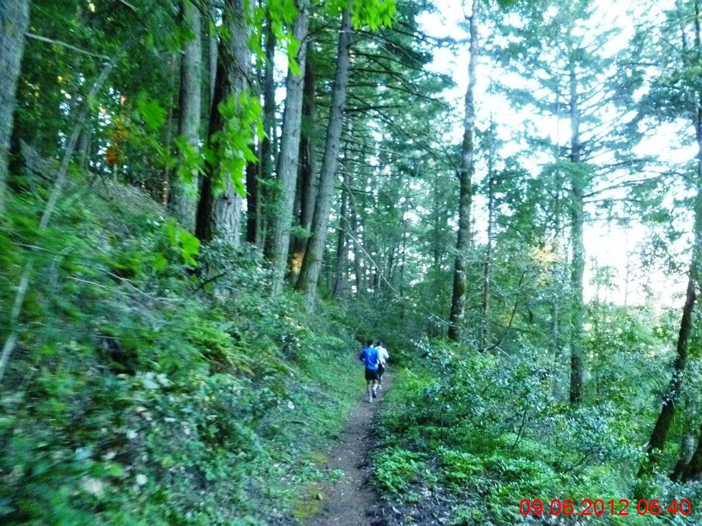
6分钟后,还是不见前队踪影。 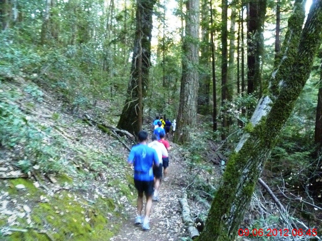
10分钟后,终于撵上!这一段路跑的有些快,配速达到了每英里10分钟。 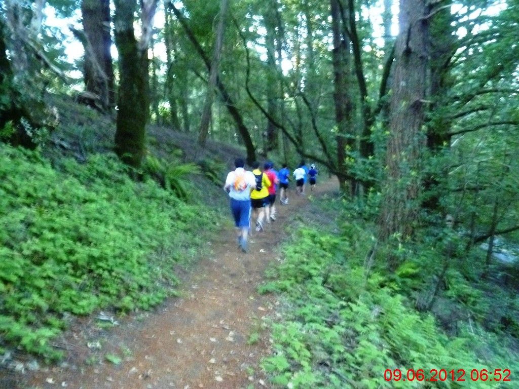
一路下行,坡度适中,大家排成一行纵队,踏着绵软的松针,在密林深处穿行。吼了一嗓子“穿林海”,跑步中中气不足,调门上不去,废然作罢。 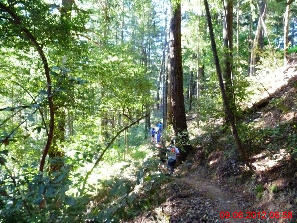
步道时左时右地在9号公路两旁穿梭。阳面的山坡上,斑驳的阳光洒满小道,一字长蛇蜿蜒而行,与松涛阳光一同构成一幅极富动感的画面。这就是人与自然和谐之美。 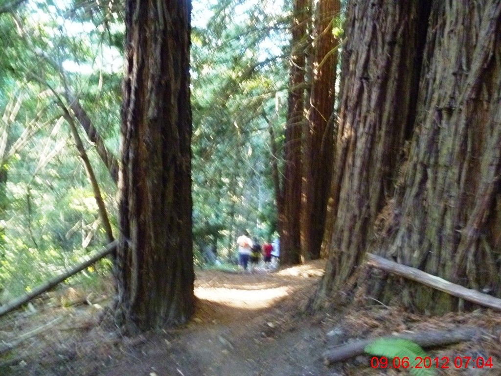
进入红杉林带,人类变得渺小起来。 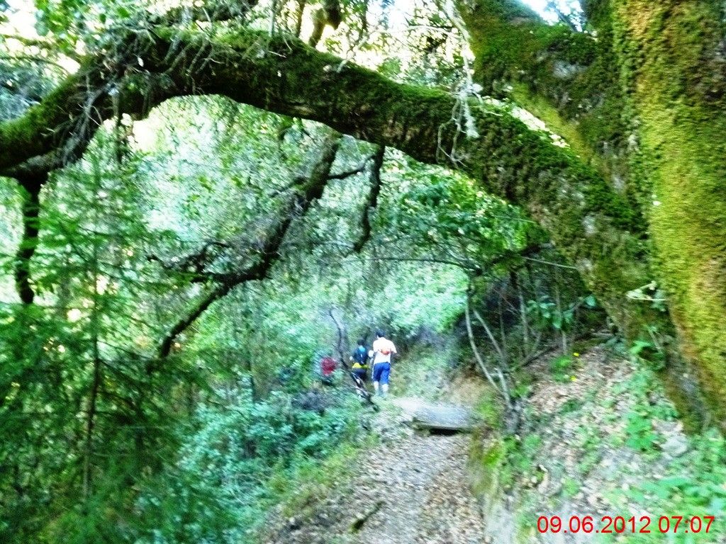
时光在古老的树身上留下了厚重的苔藓痕迹,俺们仿佛跑进了童话世界。 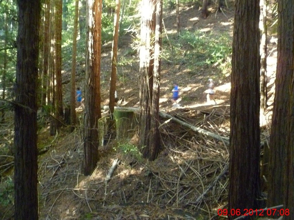
树影重重,人影闪动。 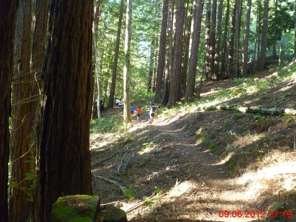
亲们,等等我呀! 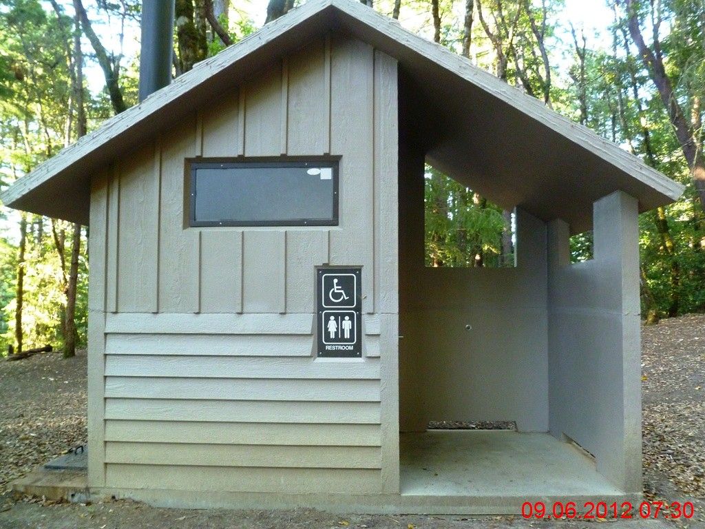
1小时05分钟后,抵达中途的一个露营地,这里有厕所和饮水。实际上,穿越Skyline-to-the-Sea需要事先申请准证,基于两点因素:安全和环境。前者是为了追踪穿越者们的行踪,后者是为了限制人数。徒步穿越29迈的全程,一般需要三天时间,中途需要露营两次,这是其中的一个营地--Waterman。 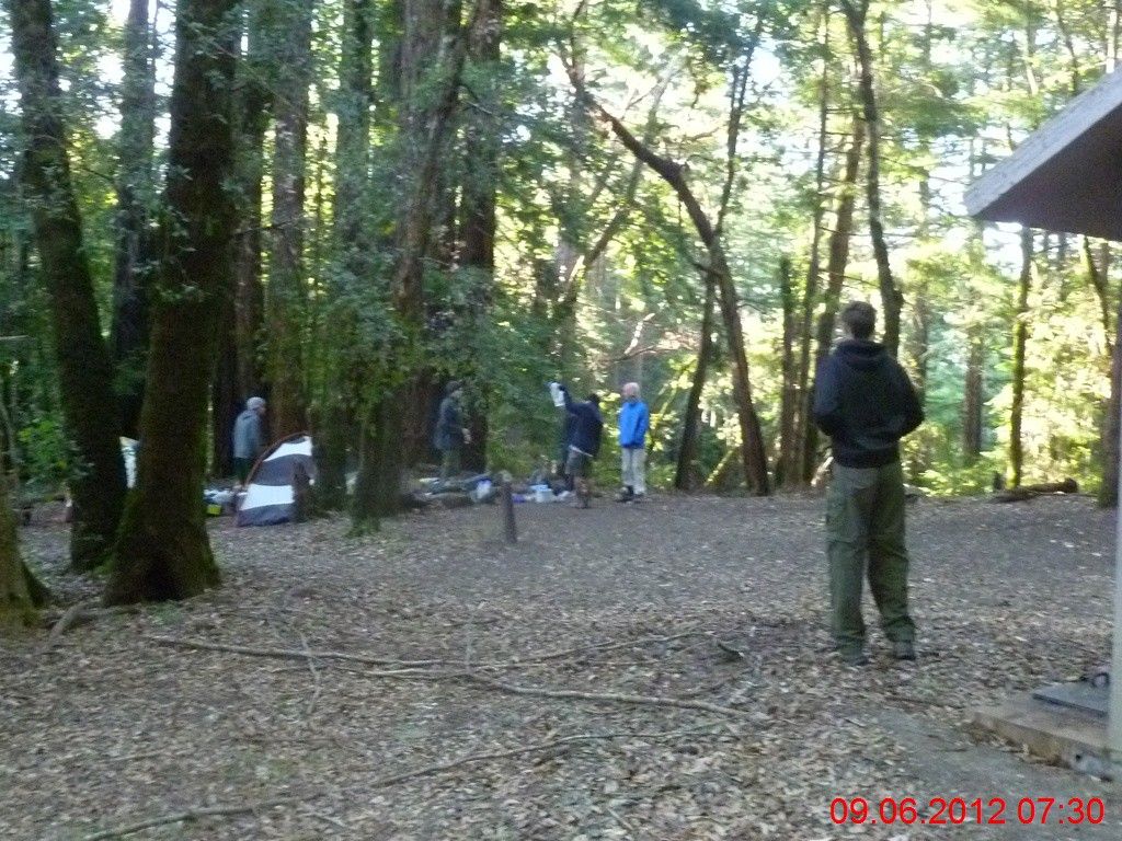
露营的人们正在拆卸帐篷。 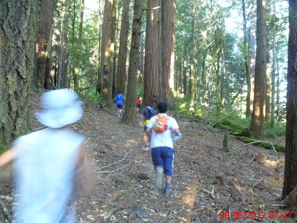
补足了水,步道转向到236两侧。因为前面6英里多的距离,海拔从2700呎降到1200呎,所以速度奇快,配速一直在10分钟上下,体力消耗不大。现在开始,就要爬坡了,从1200呎上升到1800呎。 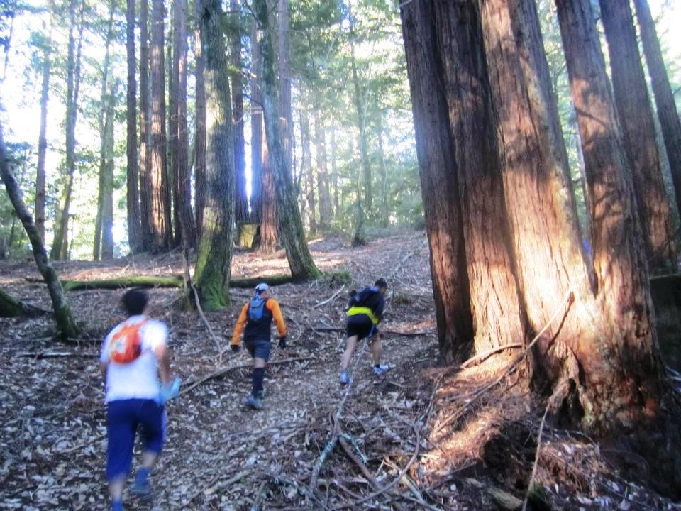
坡太陡,俺很没有出息地开走。 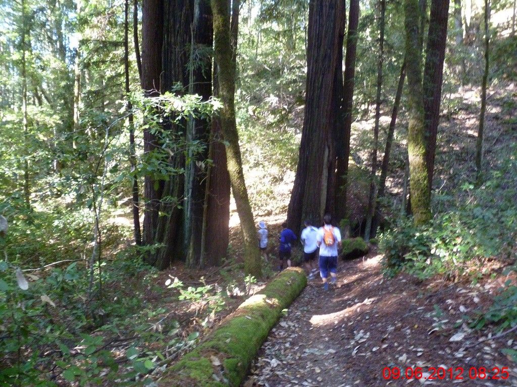
在10英里处,5人折返。先期折返小组在回程迷路,最后的里程超过23英里!剩下5人继续前行,途中不幸走错了一段路,俺老人家在后面大喊走错了,距离太远听不见,结果多跑了近半英里:( 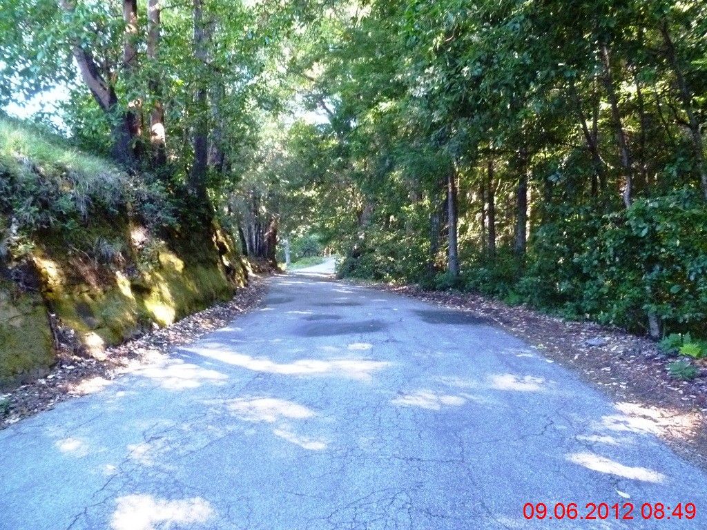
8:41AM,11.75哩,抵达China Grade大路,这里是大部队的折返点。休息了8分钟,8:49AM,挥别跑友,独自踏上漫漫未知之路。上路一刻,颇为酸楚,结伴野跑,转瞬便是单飞。 Skyline-to-the-Sea步道从此处下山,4.4哩后抵达大盆地红木公园总部。一者希望多跑一段路,二者不愿走回头路,所以下一段路程选择了China Grade->Basin Easement步道->Butano Fire步道->Johansen路->Middle Ridge路,最终与Skyline-to-the-Sea交叉,经公园总部返回。 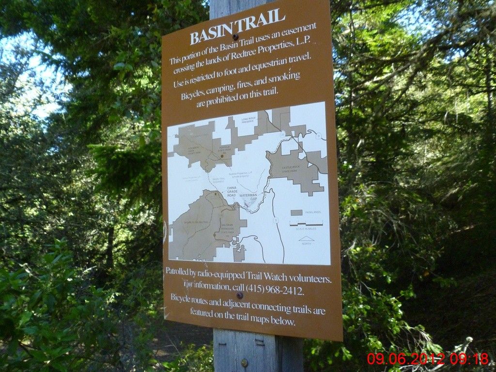
China Grade一路上坡,不停地攀升,海拔最后攀升至近2400呎!而且最关键地是,在一个三岔路口上,俺迷路了!Basin Easement步道找到了,却是径直往北!俺印象中应该是朝西南方向才对呀。。。正在困惑当中,一位骑车老者停下来帮忙,几经周折,老人家明白了俺的行程,简单地告诉俺应该如何走:继续沿着China Grade大路前进,直到遇上童子军的大门,转左上Johansen路,再转左上Middle Ridge路。即使没有老人家的帮助,最终俺还是可能走这条路径,但是在心理上的感受会完全不同--忐忑不安与前程在握。 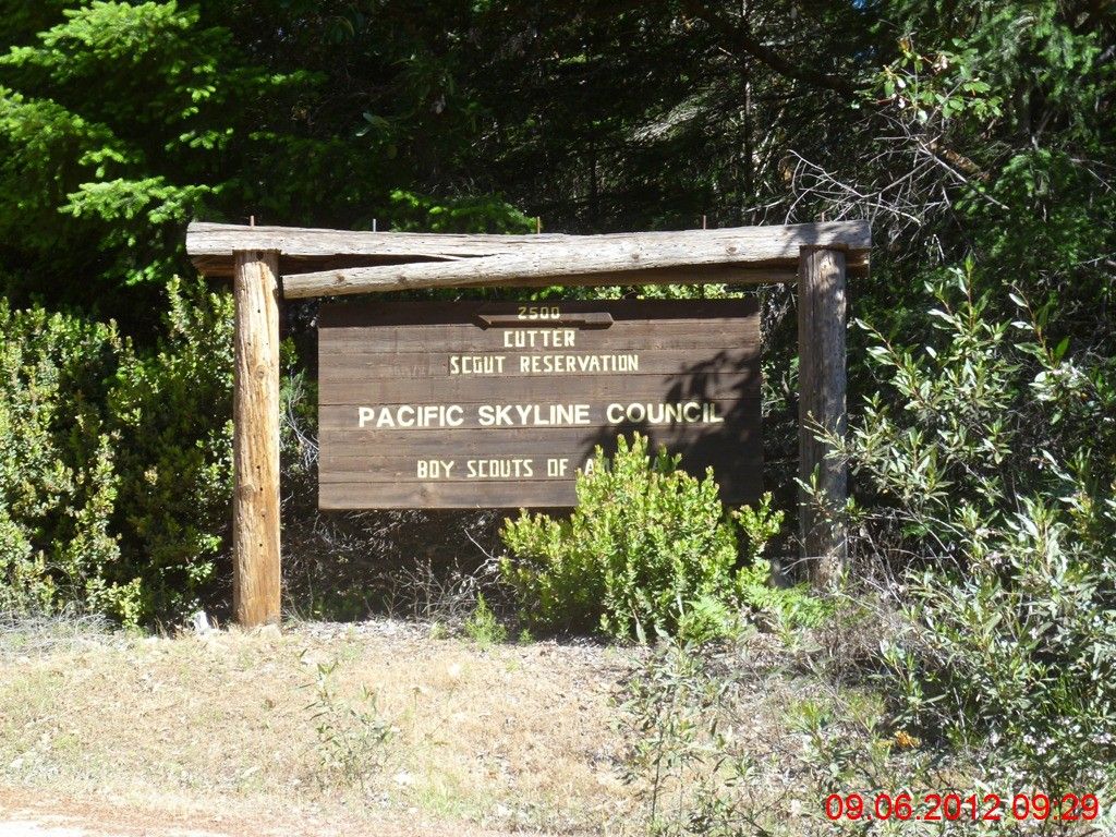
10分钟后,看到了童子军营地的大门 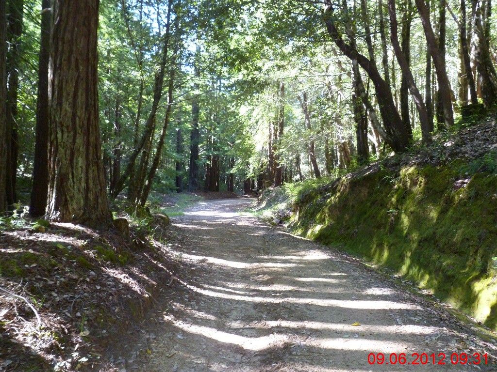
拐上Johansen防火道。 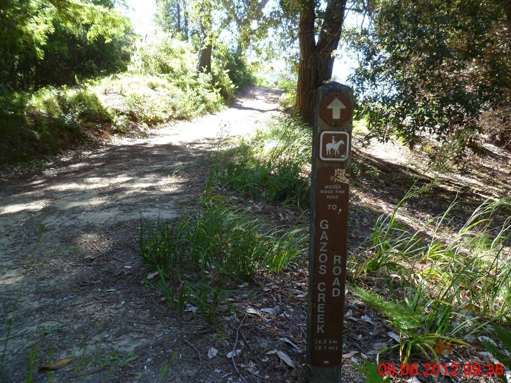
10分钟后,顺利找到了Middle Ridge路! 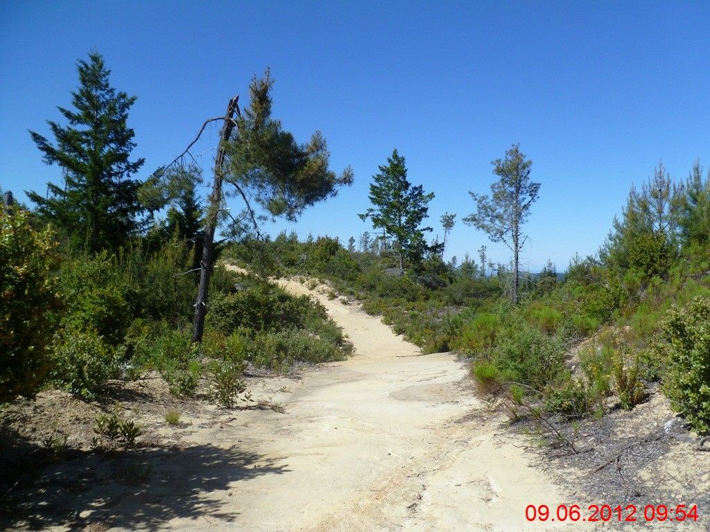
Middle Ridge就是一条山脊路,因此时常会曝露在阳光下面。山脊线的好处是没有长程的上坡或者下坡,坏处是不停地起起伏伏,如同海面上的波浪。至此,3个半小时过去,跑过了16英里多的山路,没有太多的疲累的感觉,但是在下坡的时候,膝盖略有不适。上个周末的黑山约跑,回程中有一段三英里多的大下坡,配速低于9分钟,有些过快,对于膝盖冲击过大。再次获得教训:下山一定要淡定! 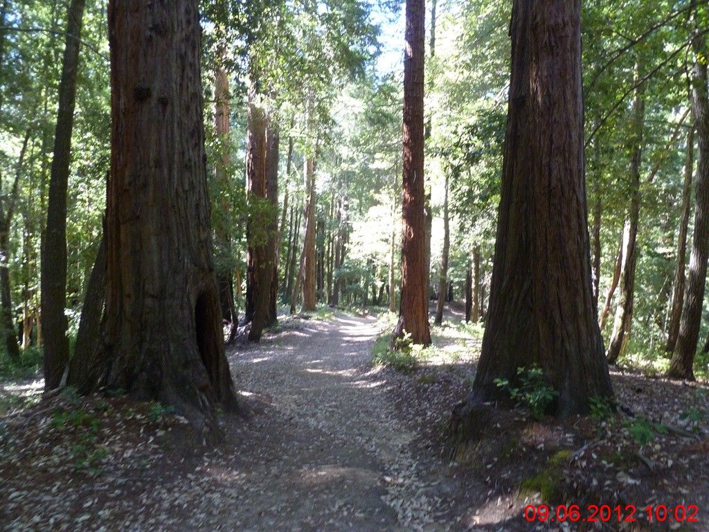
拍到一只野鹿横穿步道,太远,不甚清楚。 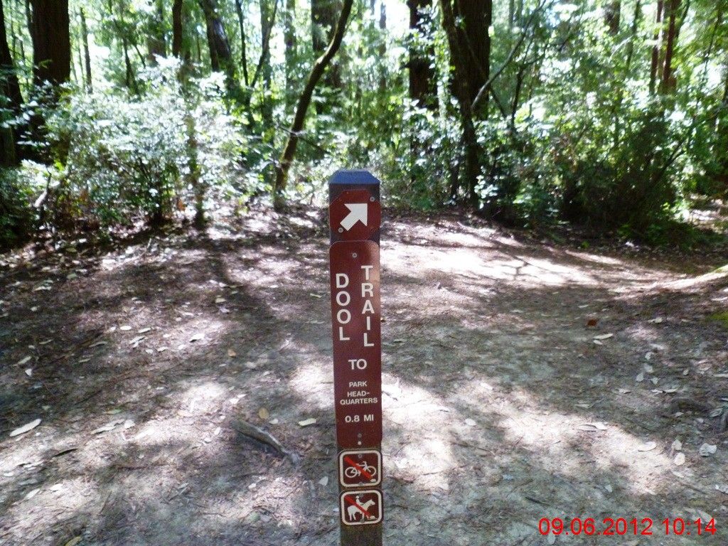
再次迷路,走上了Dool步道。反正路牌上写着至公园总部只有0.8英里,实在没有心思去寻找Skyline-to-the-Sea那条该死的弯弯绕步道了:) 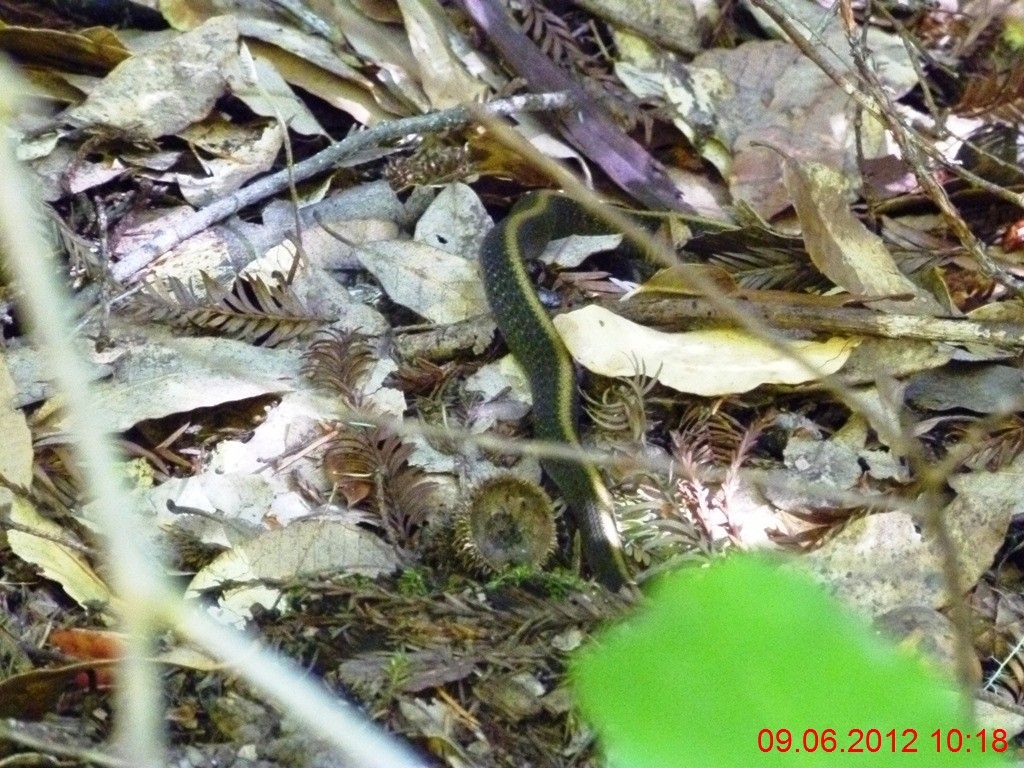
结果就在这条极窄的步道上,差点儿就一脚踩上了这条蛇--俺最为惧怕的生物! 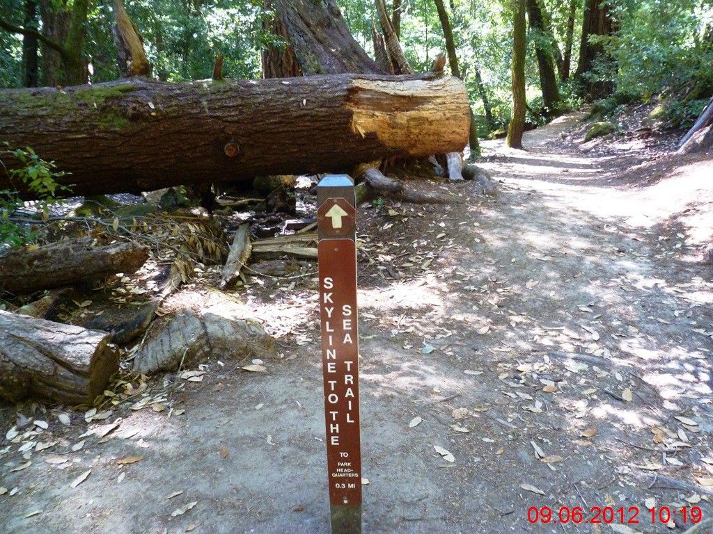
歪打正着,无意之中遇上了Skyline-to-the-Sea! 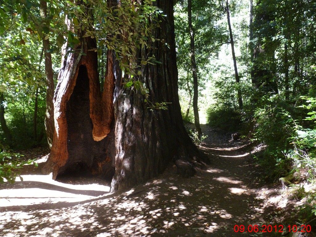
进入红木公园腹心地带,大树逐渐密集,而且造型诡异。眼前这棵大树的直径,超过了俺的身高。 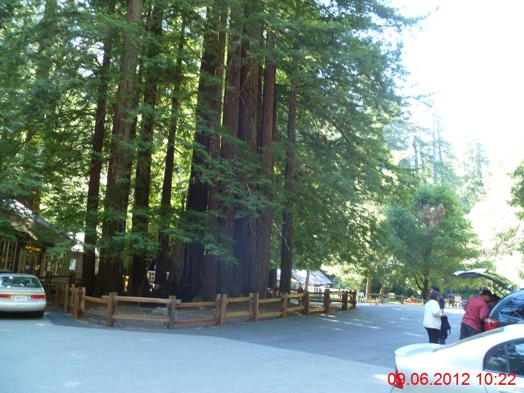
出发4小时后,抵达公园总部。 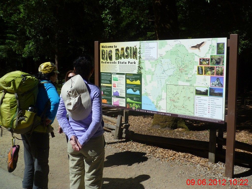
背包客们正在研究地图。菜鸟啦,老鸟们早就事先计划好了。当然,俺这种老鸟不在此例,俺的习惯是看图差不多就成,车到山前再慢慢找路会比较刺激!朦胧美么:) 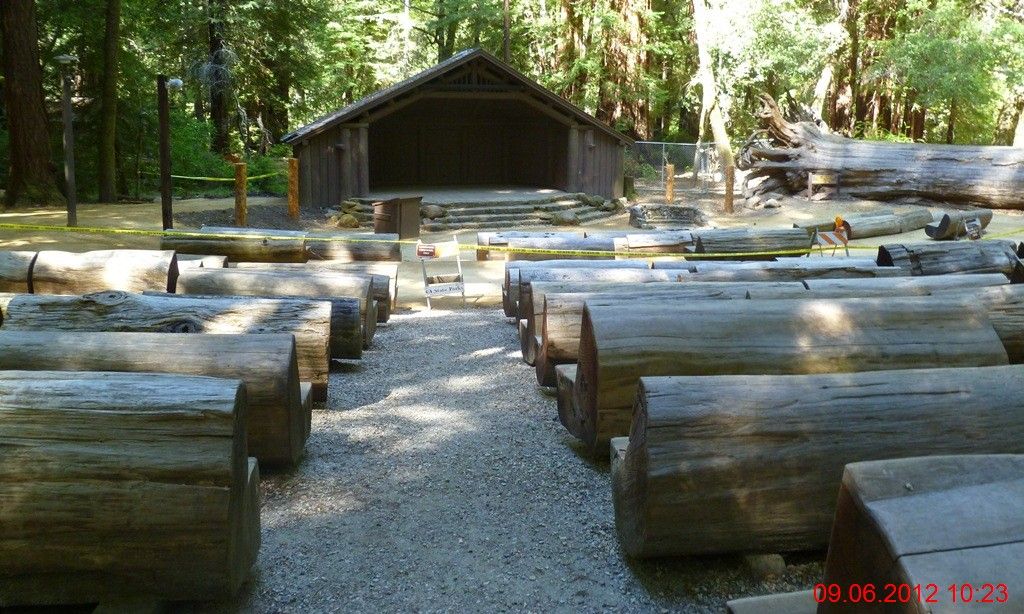
公园的露天剧场。每周六的晚上会有篝火和演出。注意:座椅都是原木锯掉1/4而成。 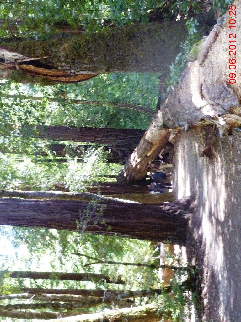
倾倒的大树,随意地躺在其家族的身边,尘归尘土归土,与岁月一同渐渐逝去。 
步道在红杉树的脚下徘徊伸展。 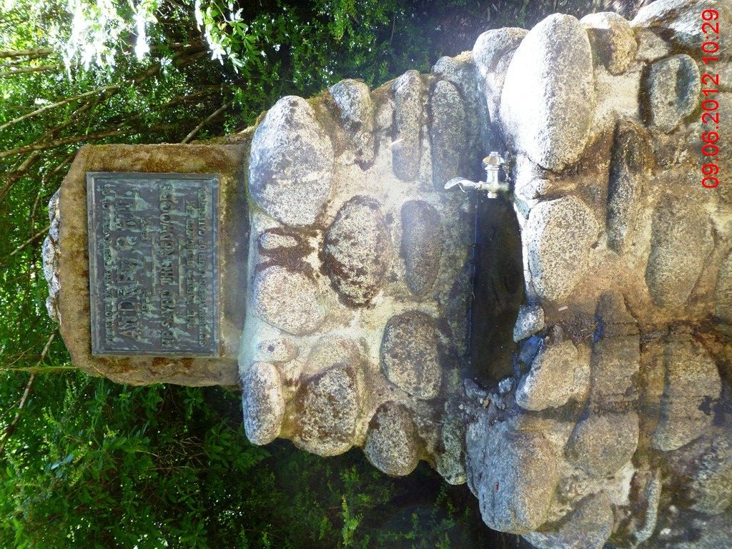
补水。 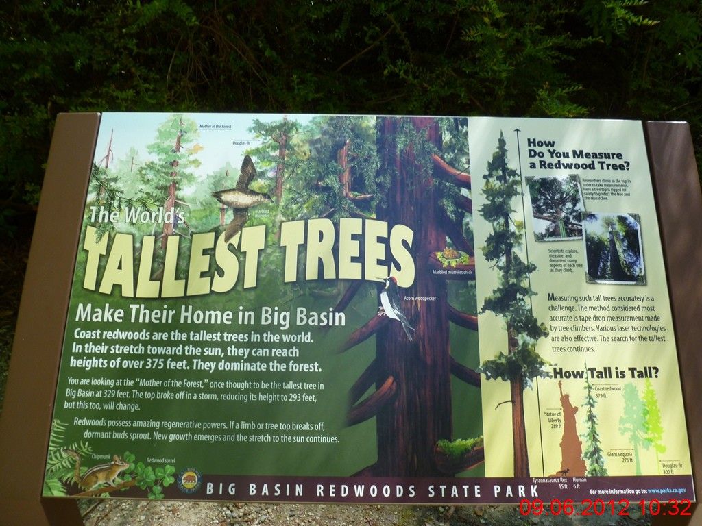
公园有一颗“妈妈树”,高达379呎,比289呎的“自由女神”像还要高。想象一下人类只有6呎高而已。 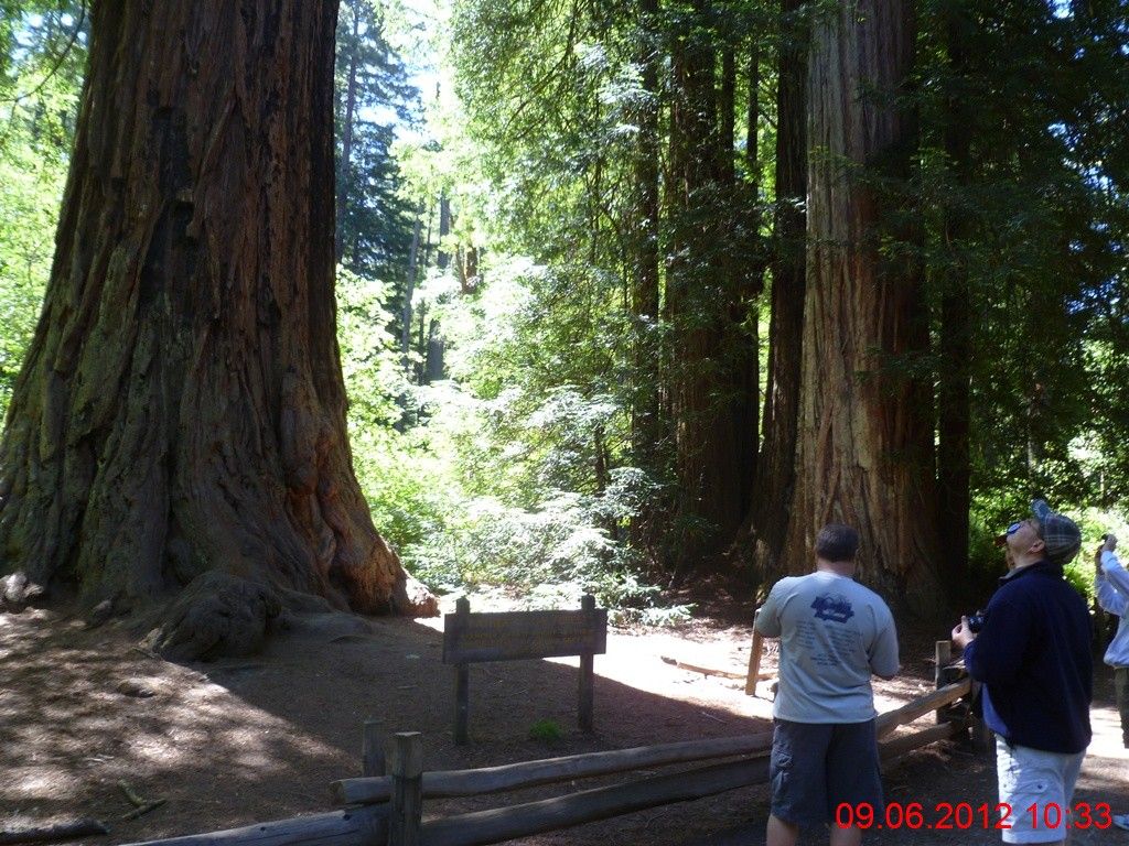
这颗是“爸爸树”。 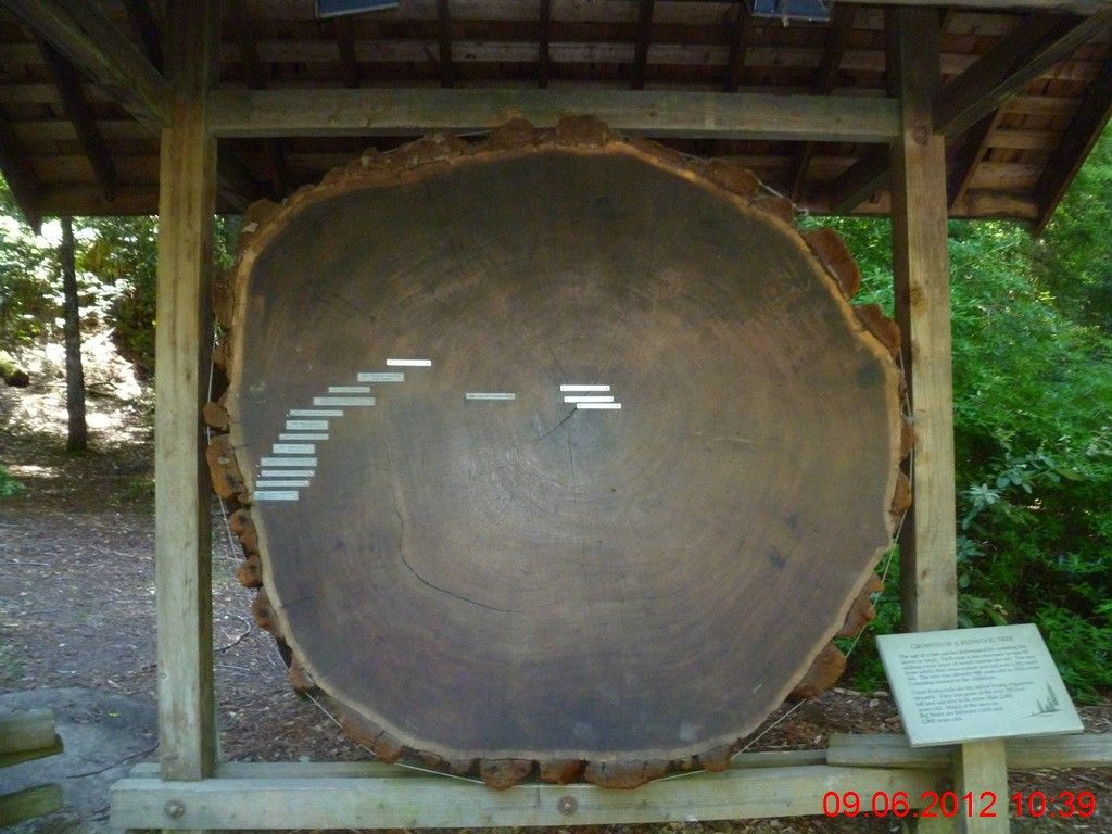
知道这颗树在被人类毁灭之前活了多少岁?1500岁以上!换句话说,此树不仅见证了杨贵妃缢死马嵬坡,而且还经历了南北朝时期的侯景之乱。 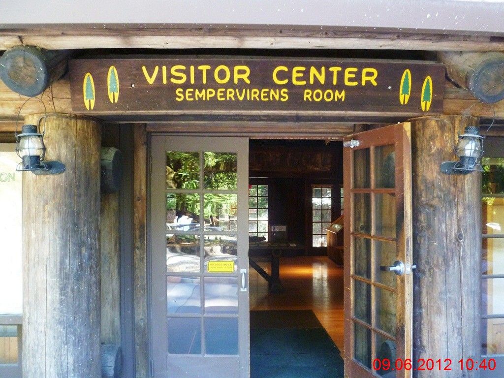
公园总部的访客中心。 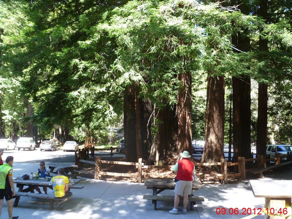
骑行客们正在歇息。 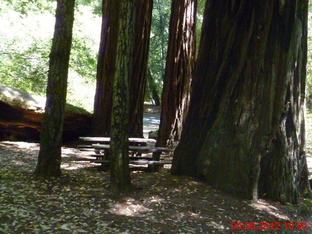
25分钟后,踏上归途。此次远征,因为迷路,看景以及休息所造成的原地不动的时间,七七八八加在一起,居然有55分钟之多! 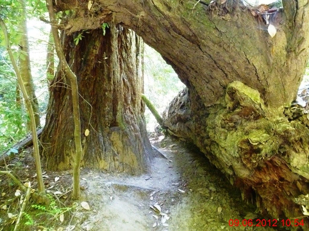
倾倒的大树,步道从中穿越。大树的阴面为青苔覆盖,色彩很有些诡异。 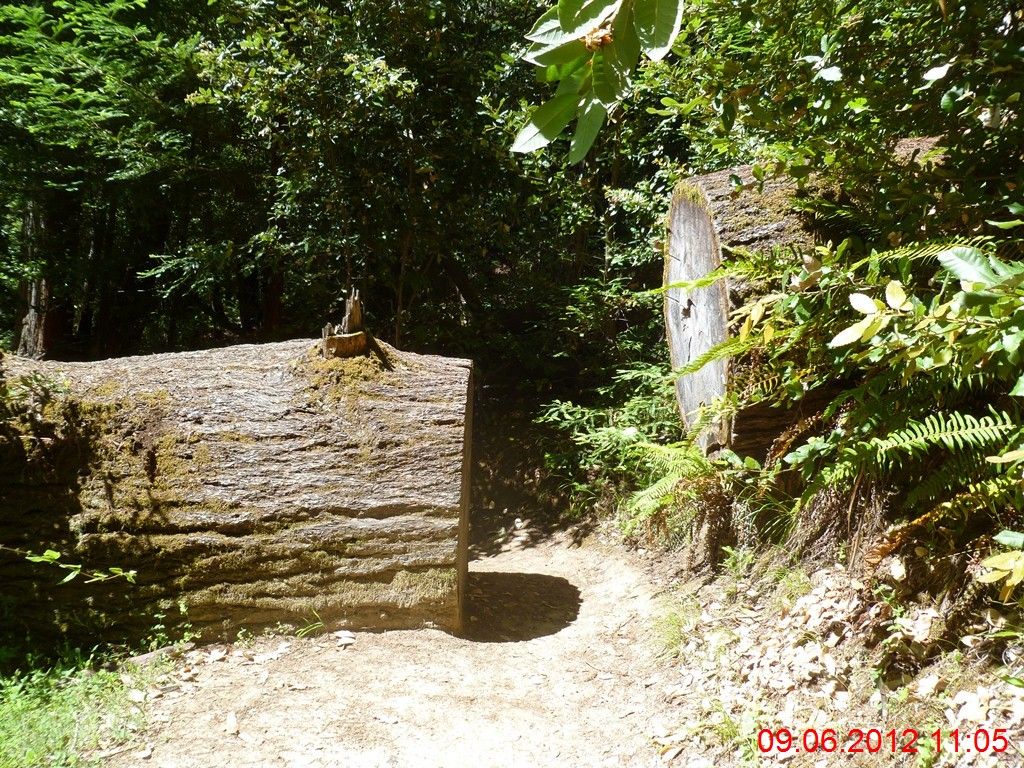
又是一颗大树,曾经将步道截断。 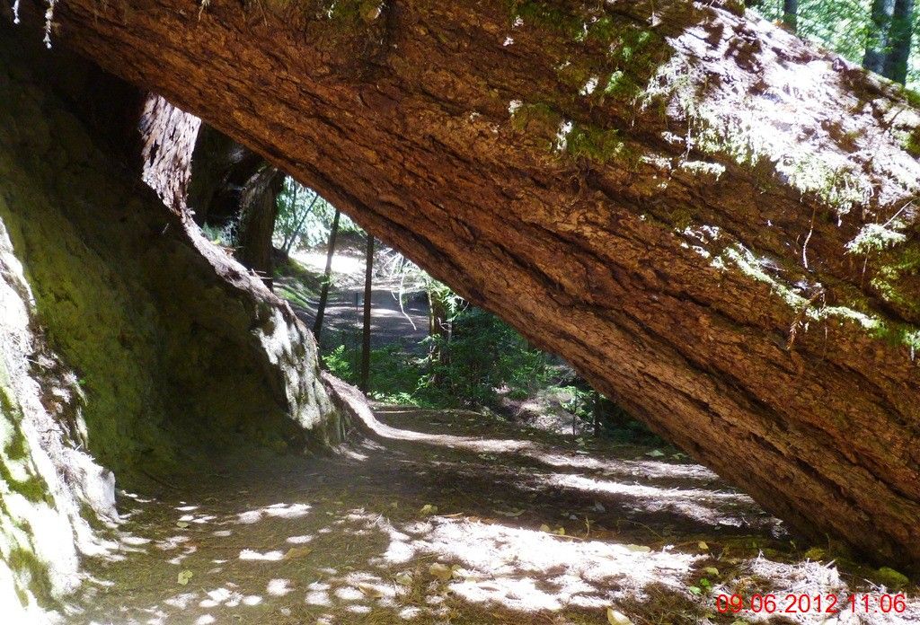
再次遭遇倾倒的大树。短短12分钟的路上,居然有三颗大树“截道”! 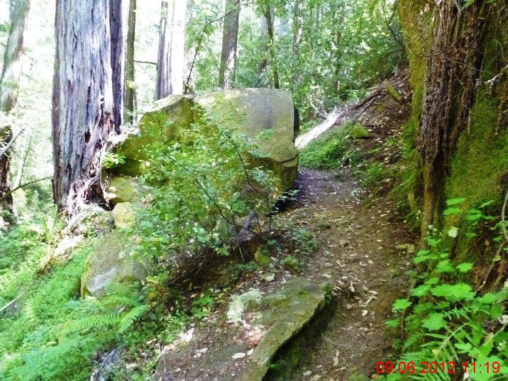
巨石狭路。 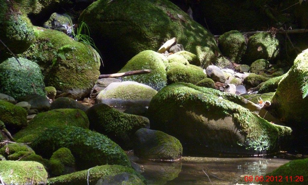
跨过小溪。5个小时内,跑过了22英里的距离。此时海拔1300呎,接下来要翻越2000呎的山,然后下降回到1200呎。非常地折腾人。 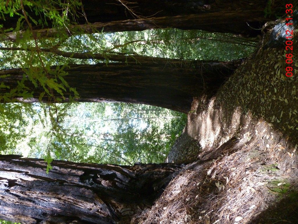
步道在峭壁上伸展,疲乏一阵阵袭来,终于跑不动了,开走! 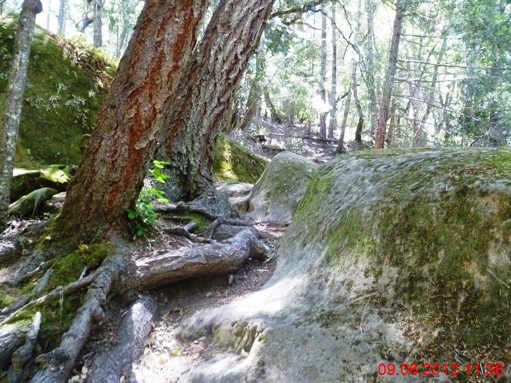
小路不仅陡峭,而且崎岖不平。 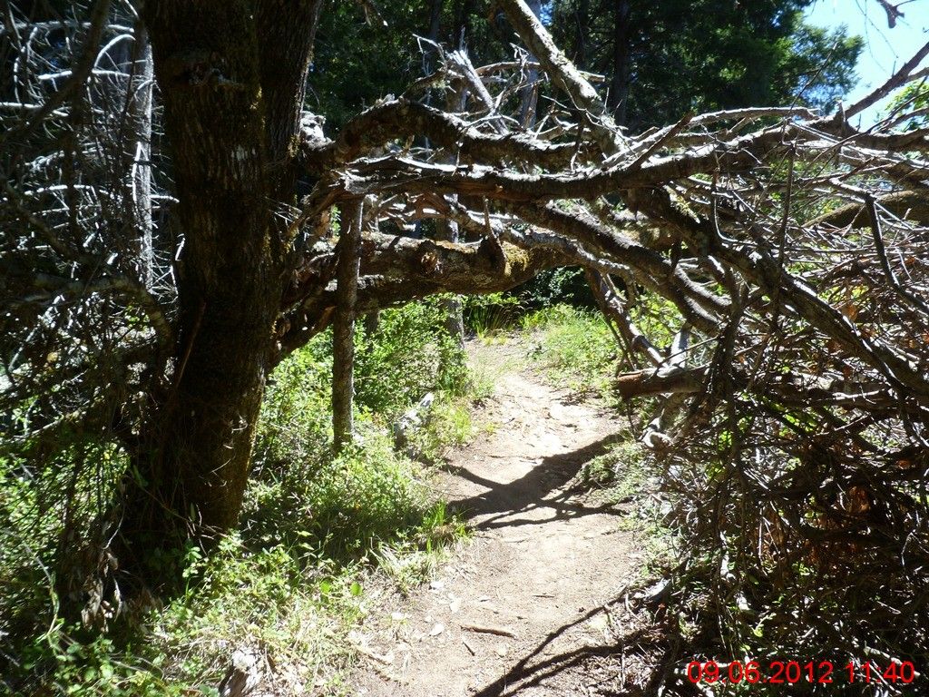
时而还要矮身穿过大树屏障。 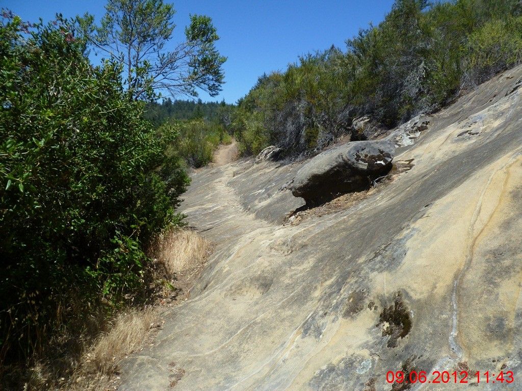
有一段路,要经过一大片整块的石头。俺怀疑这是火山熔岩所为,因为巨石的形状与外观,极具流淌的动感。 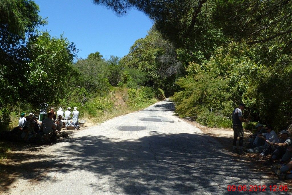
12:06PM,在经过3小时20分钟的上下跋涉之后,终于回到了当初与同伴们分手的China Grade。一大帮童子军们正在这里休息,今天他们要远足多少迈?10迈还是15迈?健行手册上建议,负重健行(自带全部给养包括睡具),日行10哩。 
接下来的路程,开始无耻地放弃了步道,转上236公路,开始了路跑,美其名曰:不跑重复道路。其实是太累了,不想在小路上频繁地上上下下。 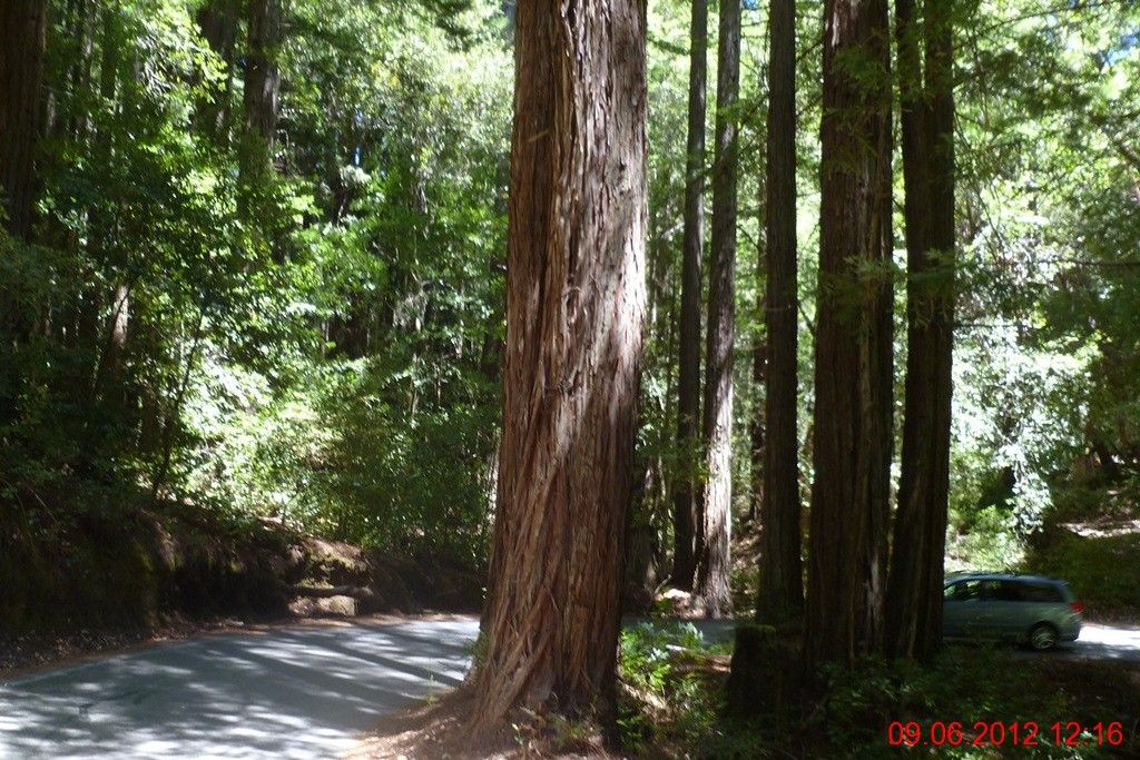
236号公路的树林密集,红杉树全程陪同,遮荫良好。所以感觉尚可,上坡15:30,下坡12:30,没有咬牙,随性而跑。 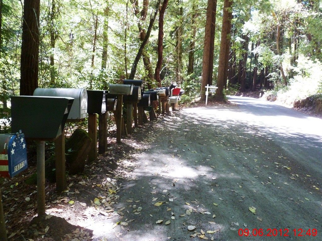
236通向未名小路的路口旁,树立着一大串邮箱,有多少邮箱,就有多少住户生活在这条小路之上。很多人都喜欢这种调调的生活--远离尘世,飘然天外。当然代价就是,最近的一个小镇购物中心也在半小时车程以外,而且还是山路。 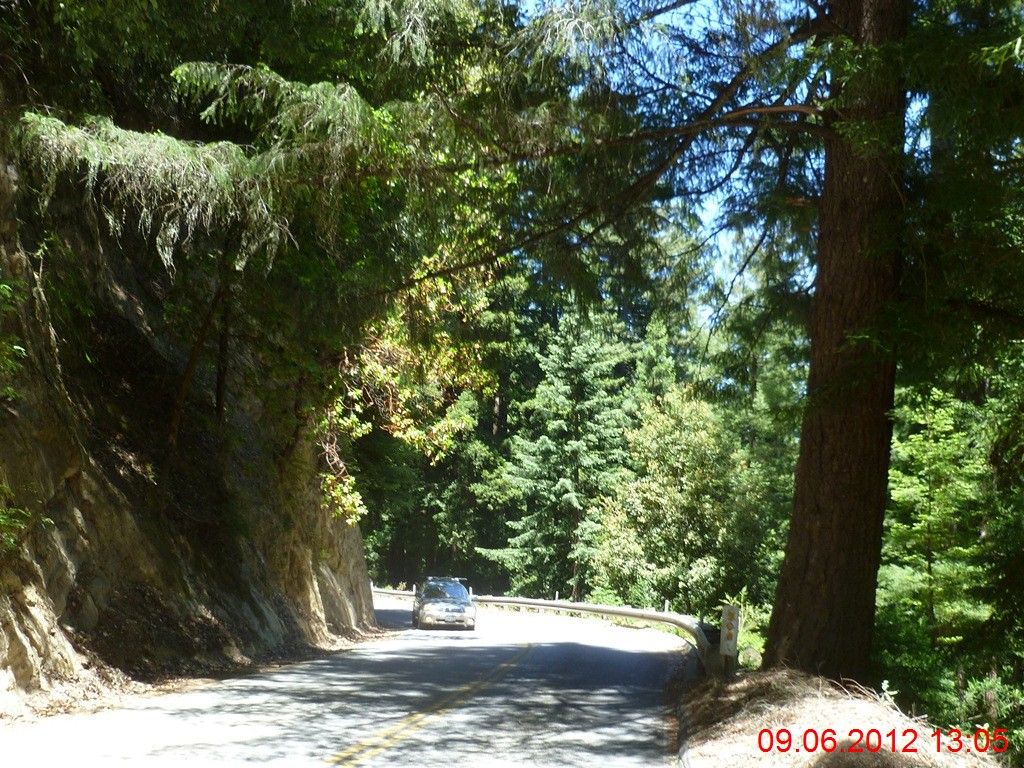
大约3~4分钟,会有一辆汽车驶过。如果是运动车款,大多会避让到另外一侧驶过;如果是丰田本田一类的日系家用4门轿车,则往往紧贴擦身而过。再次给宅男宅女们提个醒:自行车与行人具有与汽车相等的道路使用权力,请在超越中,在安全许可的前提下占用逆行线路超越。 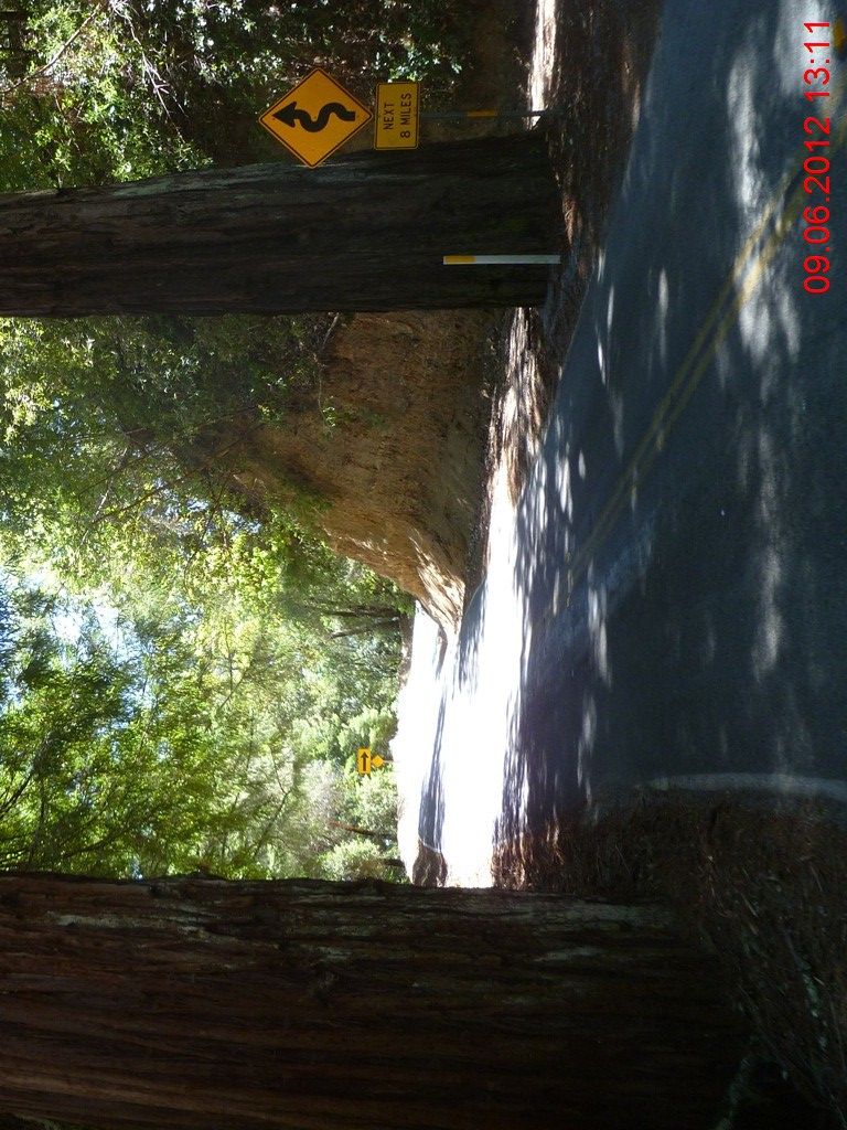
两株红杉如同门神一般,左右夹持。 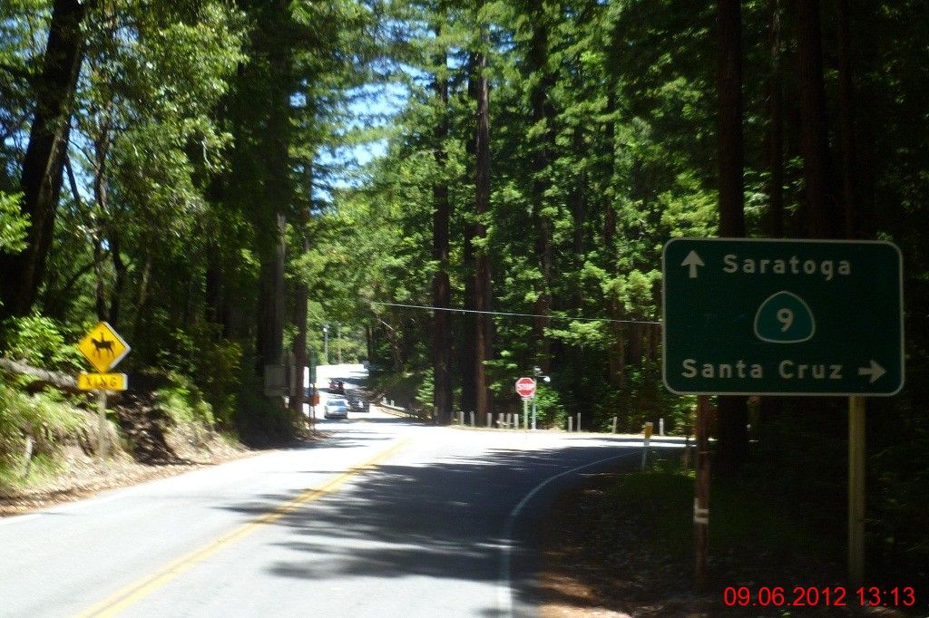
1小时06分钟之后,跑过了近5英里的距离,终于瞧见了9号公路。从早上6:24到现在,已经跑了29英里,还有最后的6英里! 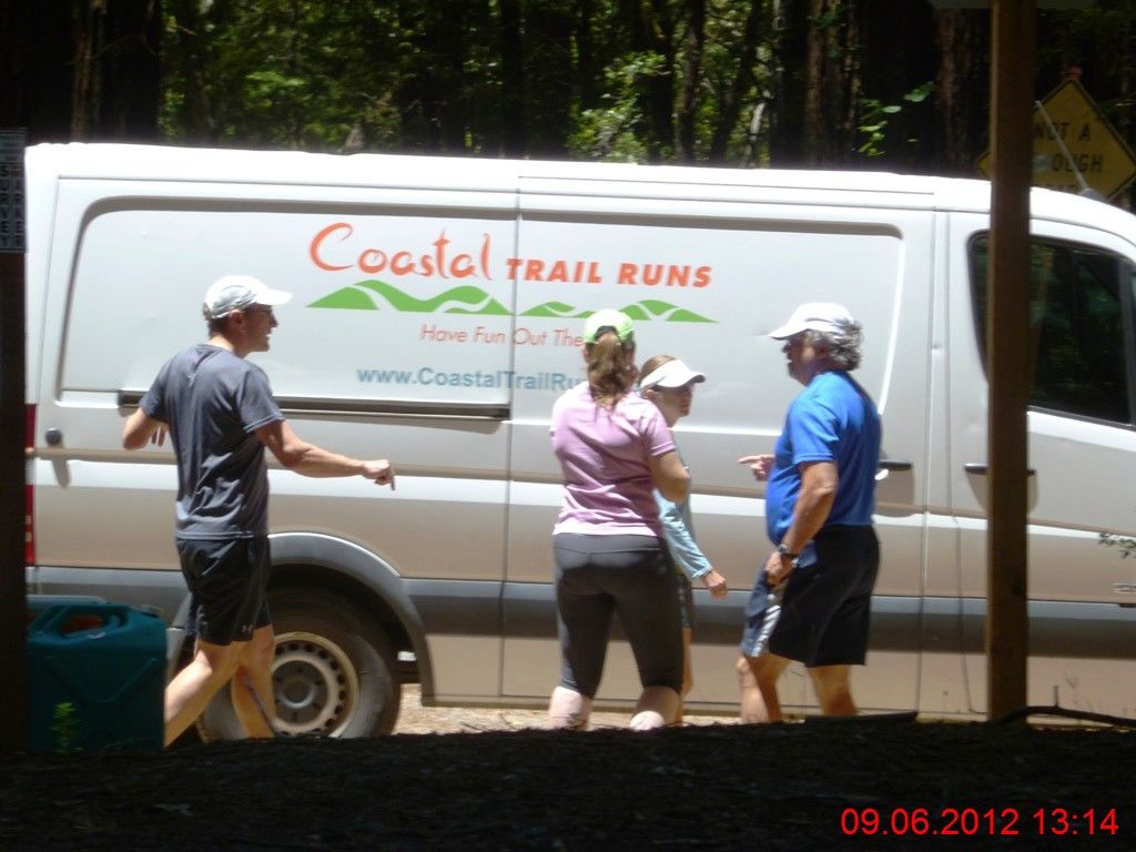
跑过路口的时候,瞧见“海岸步道长跑”的车辆。回家上网查阅,方知次日即是Skyline-to-the-Sea50公里越野赛,最好成绩居然不到4小时!这TM还是人不?俺从一大早开跑到现在,耗时近7小时,也不过跑了与之相当的距离。这人真的不能和人比呀! 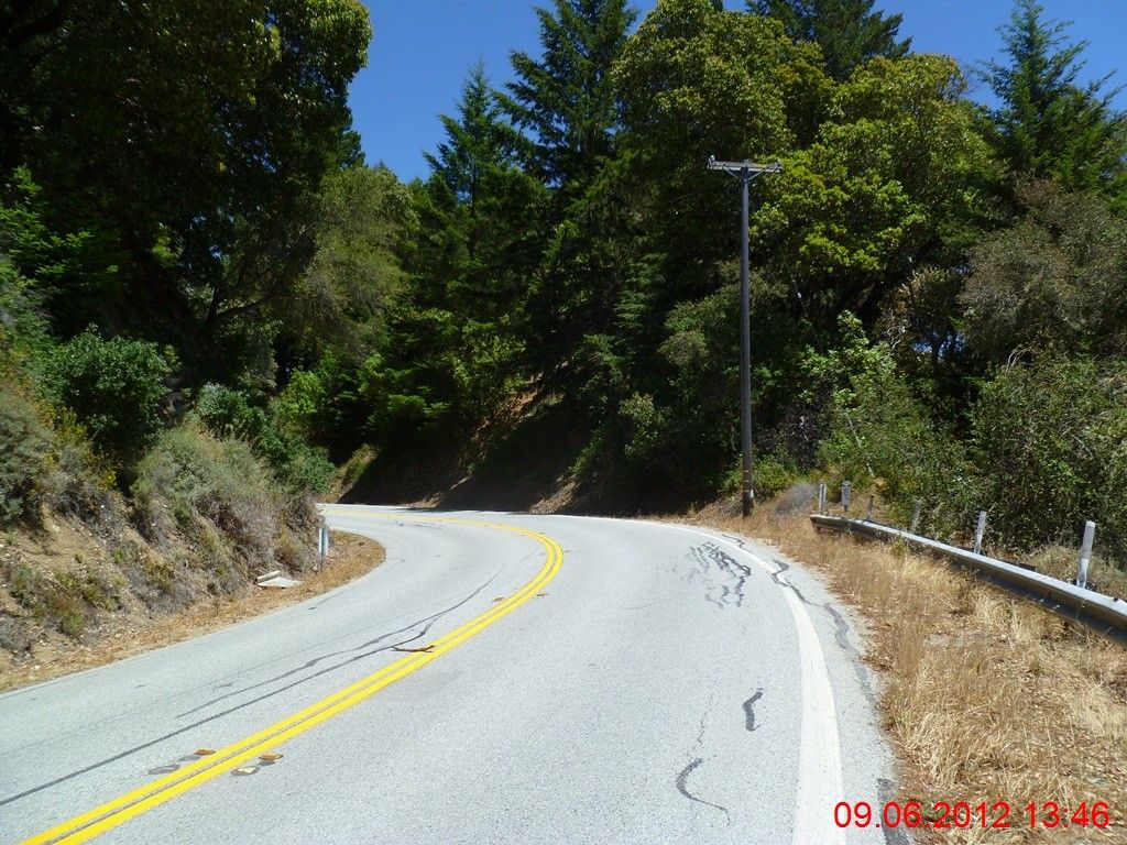
与236号公路相比,9号公路上半数以上的路段均无遮无拦,太阳正正地直射下来,晒得人焦躁不安。幸亏在此之前,先拐到Waterman营地去补了水。 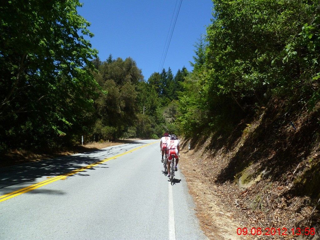
跑的很艰难,大口地喘气,小步伐高步频,努力保持着每英里16分钟的基本配速,虽然只比步行快上那么一点点,还是尽可能地能跑就不走。每一个经过的自行车骑士都给俺一个鼓励:almost there! 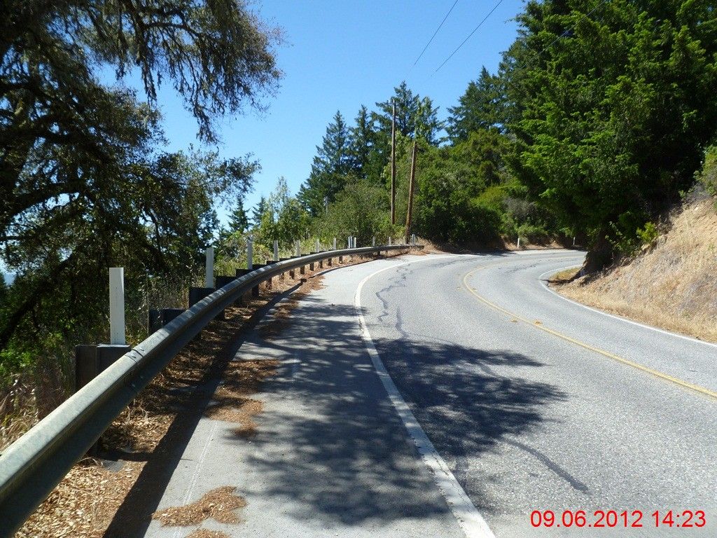
6英里多的路程,一点平路都木有,海拔从1200呎上升到近2700呎,真TM的要了盒儿钱! 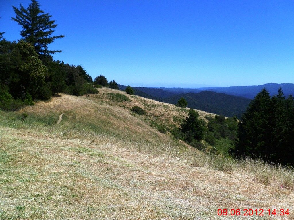
跑到一处观景台,下面就是圣塔克鲁斯山脉全景。 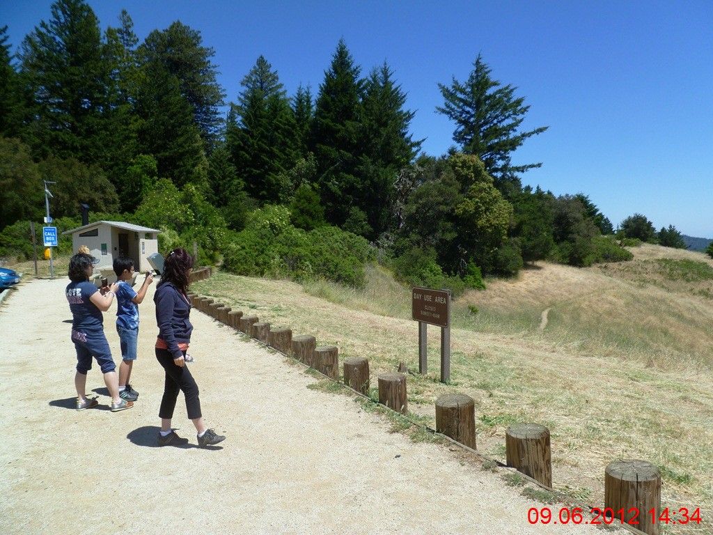
上了一趟厕所,轻装上阵,攒足了劲,准备最后一搏,力争在3点前跑回停车场。 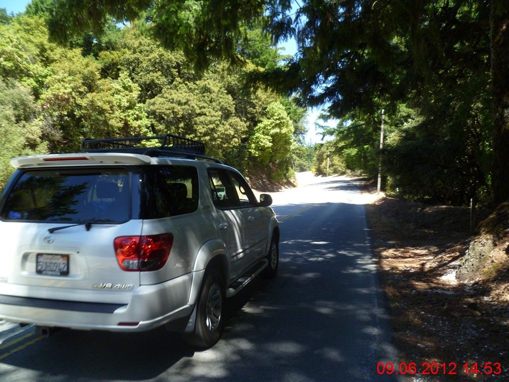
这辆丰田越野车,已经轧了分割线超越,还是裕量不够,可想而知,如果不轧线的话,能有多少空档留下。所以,遇到路跑的跑客,一定要小心超越。 
3:01PM,终于回来了!最后6英里的长程上坡路,跑出了16分钟的配速,很慢,时速不到4英里。不过,俺真的尽力了,一直在咬牙!毕竟是35英里多的山路,有生以来最长距离的奔跑。。。 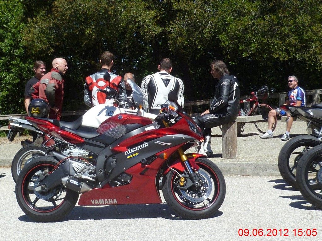
停车场上,早已不见了跑友们的踪影,他们大多在4小时前,已经完成了今天野跑,驾车回家了。很多摩托车骑士们在三三两两地倾谈,什么年龄段的都有,老中青三代。 高明405数据如下。
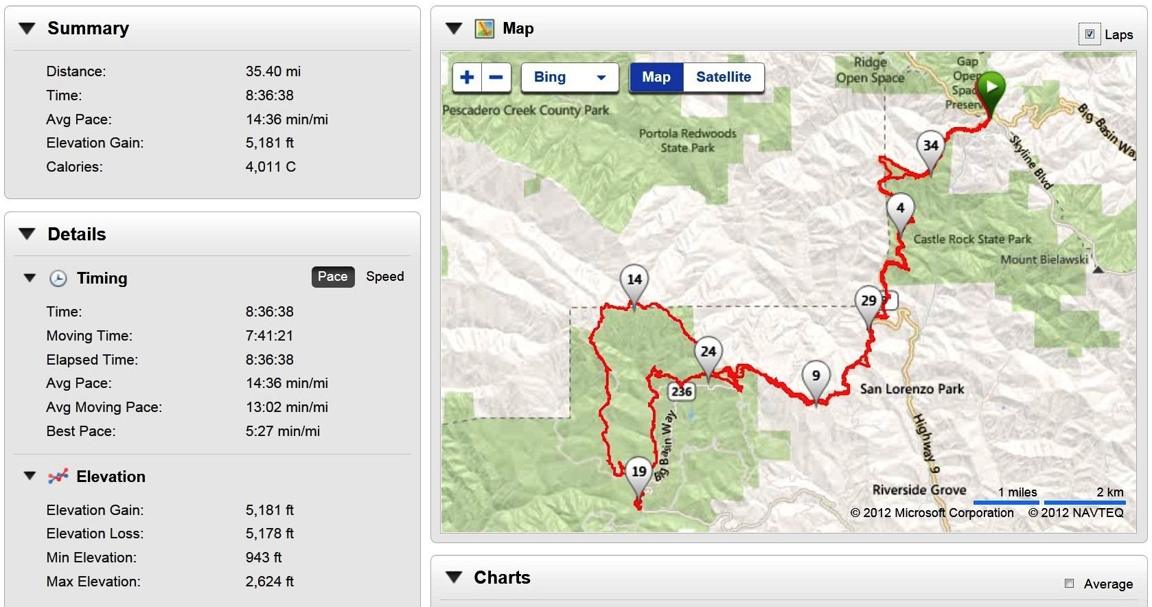
距离:35.40英里
耗时:8:36:38
配速:14:36
海拔升高:5181呎
(这次出发前,将405的灵敏度调成了“高”,结果不到8小时就开始电池耗尽告警,最后好歹坚持到全程结束,在停车场上,一组拉伸还没有做完,就彻底没电了。今后如果跑长距离,还是要将灵敏度调成最低,起码能保证数据完整) 详细数据
Split Time Distance Avg Pace | 1 | 9:53.6 | 1.00 | 9:54 | | 2 | 10:04.4 | 1.00 | 10:04 | | 3 | 9:57.8 | 1.00 | 9:58 | | 4 | 10:13.1 | 1.00 | 10:13 | | 5 | 10:08.3 | 1.00 | 10:08 | | 6 | 10:41.6 | 1.00 | 10:42 | | 7 | 14:56.2 | 1.00 | 14:56 | | 8 | 13:31.9 | 1.00 | 13:32 | | 9 | 13:59.8 | 1.00 | 14:00 | | 10 | 12:56.2 | 1.00 | 12:56 | | 11 | 11:20.7 | 1.00 | 11:21 | | 12 | 20:08.6 | 1.00 | 20:09 | | 13 | 12:56.4 | 1.00 | 12:56 | | 14 | 17:50.5 | 1.00 | 17:50 | | 15 | 10:43.9 | 1.00 | 10:44 | | 16 | 12:10.4 | 1.00 | 12:10 | | 17 | 12:56.3 | 1.00 | 12:56 | | 18 | 13:17.8 | 1.00 | 13:18 | | 19 | 11:53.4 | 1.00 | 11:53 | | 20 | 23:39.6 | 1.00 | 23:40 | | 21 | 14:31.5 | 1.00 | 14:32 | | 22 | 16:09.4 | 1.00 | 16:09 | | 23 | 24:14.8 | 1.00 | 24:15 | | 24 | 21:15.3 | 1.00 | 21:15 | | 25 | 12:55.0 | 1.00 | 12:55 | | 26 | 16:08.7 | 1.00 | 16:09 | | 27 | 15:25.1 | 1.00 | 15:25 | | 28 | 12:34.5 | 1.00 | 12:34 | | 29 | 12:54.7 | 1.00 | 12:55 | | 30 | 20:31.9 | 1.00 | 20:32 | | 31 | 17:06.1 | 1.00 | 17:06 | | 32 | 16:36.3 | 1.00 | 16:36 | | 33 | 15:54.1 | 1.00 | 15:54 | | 34 | 17:30.0 | 1.00 | 17:30 | | 35 | 13:11.7 | 1.00 | 13:12 | | 36 | 6:18.5 | 0.39 | 15:58 |
|