白雪金松映碧水,银河北斗照七侠 按:此次背包露营总共行走约40miles, 因为背包行回来第二天就出发秘鲁,一直没有时间写游记,有些细节不能一一照顾,只能大致记下来。这也是一个经验,以后要尽量及时写游记。
2016 Sep 30 – Oct 05 Cathedral Lake背包行游记 引子:A老师出发前的召集帖子,赋诗一首: 輕卸綠裳披金甲,靜立湖邊待君臨, 夏去秋來金松現,離加赴美山中居。
C计划了三年的Cathedral Lake 背包行,2013年正當準備出發,又因美國National Park有財政問題要把National Forest暫時關閉, 計劃擱置下來, 直到2016年的今天才得以实现。
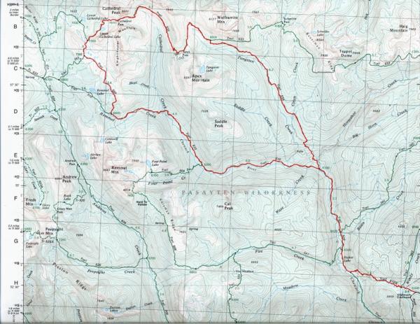
原计划路线: Cathedral Pass Lollipop Loop (Clockwise)
Route traveled: Cathedral Driveway trail #510A > Chewuch trail #510 > Lesamiz trail #565 > Boundary trail #533 > Tungsten trail #534 > Chewuch trail #510 > Cathedral Driveway trail #510A
实际路线: Cathedral Pass Lollipop Loop (Counter - Clockwise)
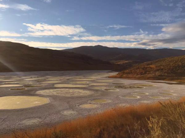
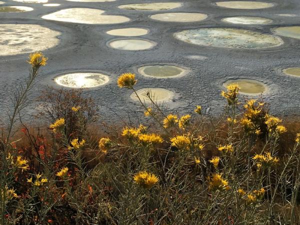
Route traveled: Cathedral Driveway trail #510A > Tungsten trail #534 > Boundary trail #533 > Lesamiz trail #565 > Chewuch trail #510 > Cathedral Driveway trail #510A Sept 30 - 0天 Vancouver 开车到达Osoyoos,在汽车旅馆休息一夜,准备明天跨域边境的背包行。在3号公路途中经过Spotted Lake, 斑点湖。Spotted Lake is a saline endorheic alkali lake located northwest of Osoyoos in the eastern Similkameen Valley of British Columbia, Canada, accessed via Highway 3. 平时不开放,这天恰巧是原住民庆祝秋天来临的一个节日,开放参观,有原住民带领同伴的一车游览,可惜我们一车错过了。 兩車同伴約六時先後到達旅館, 經旅館主人介紹, 我們步行到附近的Sage Neighbourhood Pub用晚餐。从旅馆步行出来途經Osoyoos Lake湖畔, 正好是黃昏落日, 天上彩雲倒影在湖面上, 恬静的湖面呈现出一派詳和的氣息。黃昏落日, 總是令人著迷沉醉。 晚上我们在旅馆还开会制定最后的路线和计划,老hiker就是认真!谢谢C订到这个不错的旅馆,听说是刚刚装修好,还免费给我们upgrade, 结果每个人都有一间独立的房间(当然厅也算在内),是少有的非常舒服的一晚旅馆。
Oct 01 – Day 1 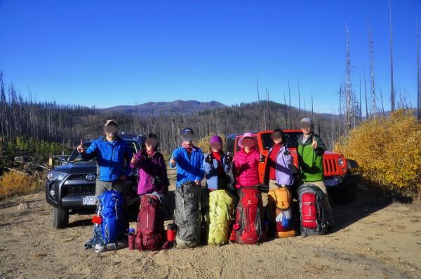
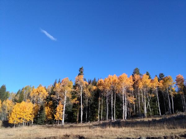
路线: #510A trail head – #534 行至傍晚,路程大约20公里。在Tungsten 附近一个旧矿场扎营,天气寒冷,下飘雪。没有水源,要辛苦3位男士下坡去1mile左右的小路遍取小溪水。 第一天从旅馆开拔,出发一路顺利,开车沿途有金黄色的桦树,蓝天白树黄叶,非常美丽。 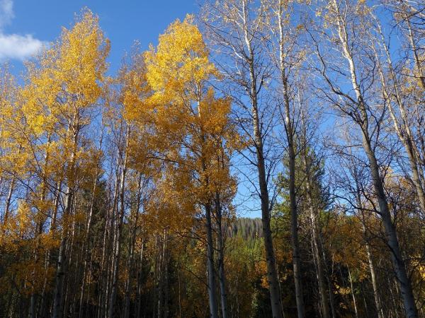
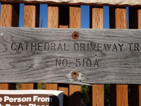
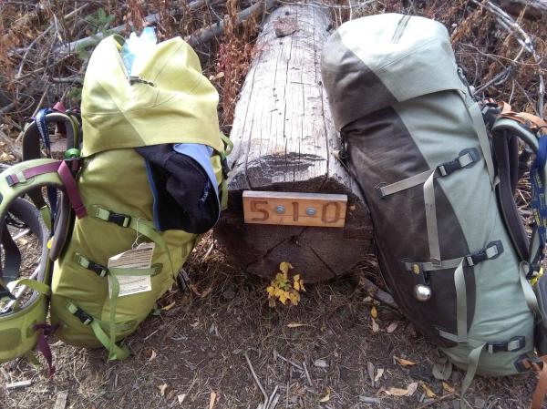
不久来到trail head ——Cathedral Driveway trail #510A。 在这里park好车,NP (美国国家公园年票) 放好在车头位置,有人竟然忘记带NP出来,好在漂流MM带了extra的,不用浪费每天5块的费用。出发的时候天气很好,秋高气爽是登高的好日子啊,这时候每个人的状态都很好,衣服也很光鲜还没有尘土和汗水。大家背上大包合影后出发。 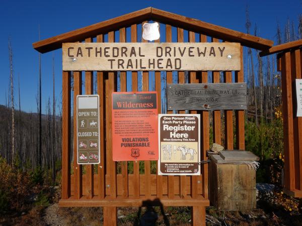
这次背包露营我们的路线就象一个带线的气球,C领队则说象一个棒棒糖。从Cathedral Driveway trail #510A 出发就是从棒棒糖的手柄出发,不久我们到达第一个4700 英尺的junction. 这里是trail #510A, 510 和534的交叉口,也就是棒棒糖手柄结束,圆圈开始的点。我们临时改变方向,由顺时针方向改为逆时针方向,原因是不确定顺时针方向的水源,而逆时针方向根据旅游书描述,在534 上的old mine site 或者更远处有两处水源,加上逆时针方向最后一天大部分会 down hill,比较容易。
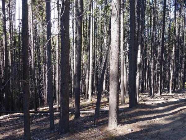
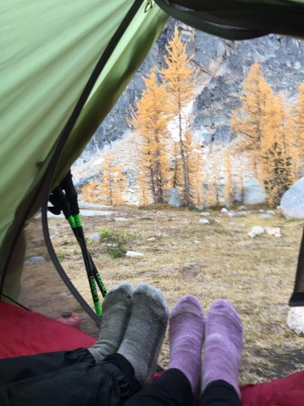
沿途经过Pasayten Wildness, 也是我们7月初去看野花露营的同一片平原,所以我们出发的时候也能看到上次一样被森林大火熏死的树木,只剩下树干。由于到达旧矿场已经天近傍晚,我和K 先在矿场附近寻找水源不获,但是前方也是未知之数,最后决定就地扎营,由三位男士下山取水,这样上上下下也满辛苦的,而且天已经开始黑了,天上飘下了雪花,还有风冻效应,感觉蛮冷的,我的营扎在两棵树之间,还有树根在底下,做饭的时候也是把锅和碗放地上,我们都早早处理完吃喝,就休息了。
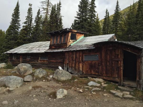
废矿场 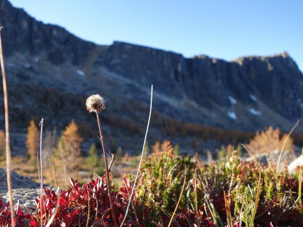
Oct 2 - Day 2 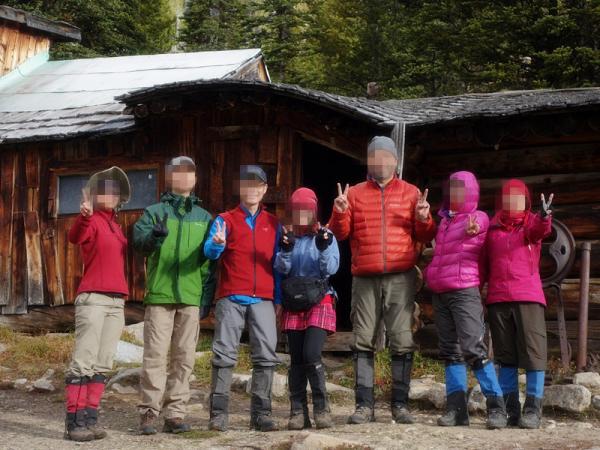
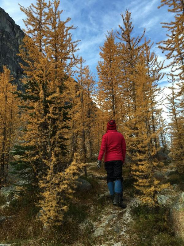
路线:从 Trail #534 经过 Trail #533, 到达Cathedral Lake. 第二天从旧矿场拔营出发,不久就看到水源。一路在树林中穿行在#534 trail 上,一路拔高到达雪线,沿途从开始有零星的金松,到后面是成片的金松林,我和C,A, K半路上将大包放在trail 上,爬上路边的山看金松,P,H哥和HQW先出发去湖边。我们上到山上看到很多金松,这时候天气是多云,我们也在耐心等待太阳,在这山上的金松林饱览金松美景。K带着GPS去更远的山峰,看完金松下山,我们有点偏离了原来的路线,因为这里的路貌似都可以下山,但是其实下去后又不对,正在寻找出路之际,我想起出发前我下载了View Ranger GPS 路线和地图,打开来看果然有,我不太熟练,于是请教Alex, 这样我们就看着我的GPS 走回了正确的route, 这时候K 听到我们在山上叫唤,也回答我们一边走了下来。这是一个很好的经验和教训,GPS是必须预先下载地图和路线,也是必须要会熟练运用。
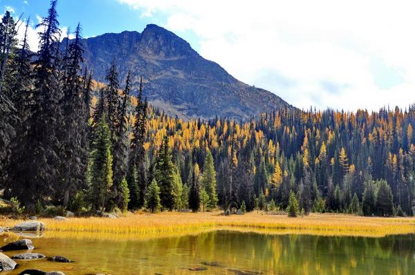
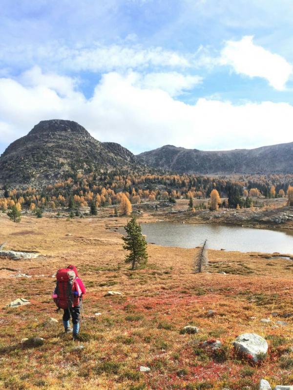
到达一半路程中的海拔7200尺高点然后downhill,远眺雄伟冷峻的Apex Pass,绕过树林后从Apex Pass 穿过,达到Cathedral Lake 前是Cathedral Peak, 海拔8601尺,最后看到一片平原开阔地和滩涂,看到一大片金松和湖,沿途还有贴着地面生长的红色的不知名的植物,也非常漂亮。到达湖边,有不少营地,后来我们找到最好最有利的位置,后来来了几个白人,就在我们原先想去的离湖边正面看金松位置稍远的地方扎营了。
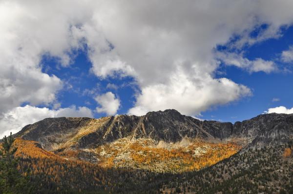
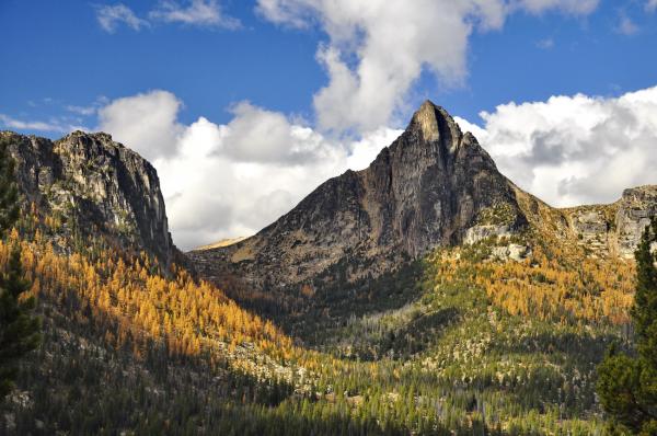
1.Amphitheatre Mountain 2.Cathedral Peak 8074Feets
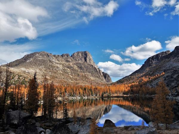
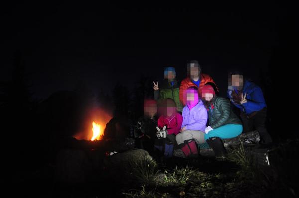
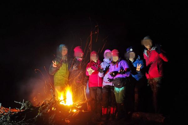
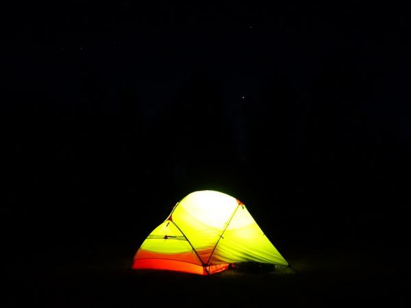
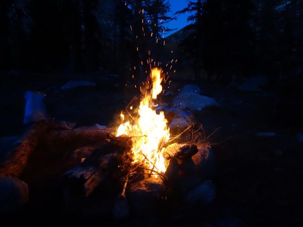
面向清澈平静的湖水,灰褐色的山,金松倒影湖水中,我们非常激动!尽情欣赏美丽的金松和湖景。 天气偏冷,多云有阳光,晚上有清晰的北斗七星,又是一个美丽的星空!晚上我们捡地上枯死的金松树枝生火,点起篝火夜话,十分惬意。
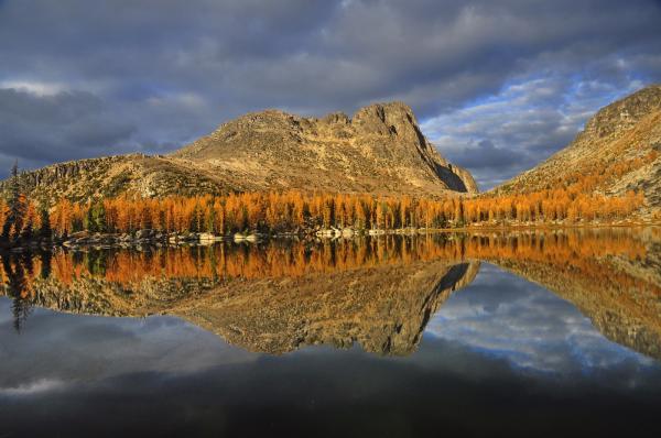
Oct 3 - Day 3 D3, 在Cathedral Lake 扎营,游玩,探险。
Lower Lake
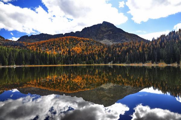
在Cathedral Lake 附近探险,我们住的地方是upper lake, 离此处不远是lower lake, 我们轻装前往。Lower海拔7000尺,下到山谷,感觉有点阴凉,天气还是多云,间中有阳光,有小雨。大家分开几队探险,我和C没有挑战高山,而是一起去了lower lake,在湖边顺便吃了午餐。 队伍里有好几位摄影师和摄影爱好者,这次拍金松应该是过足瘾了。 Oct 4 - Day 4 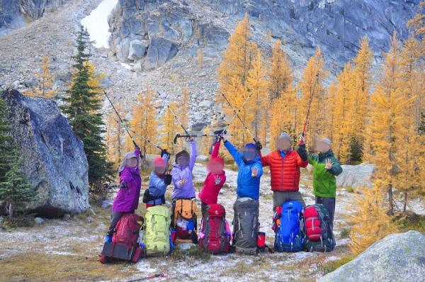
路线:Cathedral Lake 出发,从Trail #533 转Trail # 565, 经过Hazel Creek,转Trail #510,510A, 大约20公里。 从Cathedral Lake 出发,从Trail #533 转Trail # 565, 经过Hazel Creek,转Trail #510, 一路downhill, 回到4700 junction, 也就是棒棒糖手柄顶端的#510A, 510 和534的交叉口,继续前行,经过一个美丽的meadow, 到达horseshoe Basin 的一个旧马营。这里有废弃的栓马柱,放马的露营地, 旁边是一条小溪,估计是Fire Creek. 我们就在溪水边扎营,时隔多年还是有马的味道,天气潮湿有小雨。
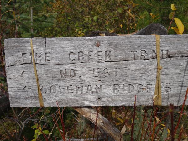
Oct 5 – Day 5 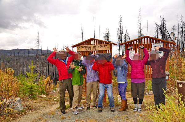
路线:旧马营 回到trail head, 大约5 mile. 第五天的早上我们拔营离开旧马营,踏上回程。收营的时候帐篷有些湿,加重了重量。 我们大约中午时分分别快慢到达目的地,就是Chewuch Trail Head. 最后拍照留念,开车出发,经过美加边境一个小海关,Chopaka, 回到加拿大国境,然后向西直驶,回到家中。总共6天的金松背包露营圆满结束。也结束了今年的三季背包露营之行,明年再出发啦!

附录资料: Trip Description
The 38-mile loop through Cathedral Pass offers some of the best scenery that the Pasayten’s breathtaking Boundary Trail has to offer. We’ll start and end at the Chewuch trailhead out of Loomis.
Once at the trailhead follow Cathedral Driveway Trail #510A, which will descend roughly 2 miles through some burned areas into the Chewuch Valley and merge with Chewuch Trail #510. Be on the lookout for bear, deer, and moose in this area!
The Chewuch Trail (510) as it heads north through a burned forest that is slowly recovering from fires in 2001, 2003, and 2006. It turns west at the junction of 4700 ft and continues along the river another 8 miles, where it crosses Cathedral Creek, one of the major feeder creeks to the Chewuch River. At the crossing, you’ll begin to climb for two miles, paralleling Remmel Creek and arriving at a high point of 6600 feet—14.5 miles from the trailhead.
Eventually you will pass the now abandoned old Chewuch River trail. The Forest Service has rerouted the Chewuch River trail (#510). Continue on the newer Chewuch River trail.
Next you will reach a junction with the Lesamiz trail (#565). You can either continue on the Chewuch River trail to Remmel Lake or take the Lesamiz trail to the upper Cathedral Lakes basin and Ampitheatre Mountain. Take the Lesamiz trail if you are doing the Cathedral Pass Loop.
In a mile or two, you'll reach another junction with the Remmel Lake cutoff trail. If you want to head to Remmel Lake for a quick swim and didn't take the Chewuch River trail, take the cutoff trail 1/4 mile to the lake. If your destination is Cathedral Lakes, continue on the Lesamiz trail.
(Note: As of August 2016, the Green Trails map for this area does show the Chewuch River trail reroute on the Lesamiz trail.)
As you continue higher on the Lesamiz trail, views of Remmel Mountain to the south and Cathedral Peak and Amphitheatre Mountain to the north make excellent alpenglow viewing and provide beautiful photo opportunities.
Eventually you'll reach another junction. You can stay to the right and head straight to Upper Cathedral Lake and Ampitheatre Mountain or you can head in a westerly direction to connect with the Boundary trail (#533) for a more meandering route. Either way can get you to Upper Cathedral Lake, just make sure if you take the Boundary trail, you head east on the trail toward the Upper Cathedral and Ampitheatre.
In no time you will be traversing above Upper Cathedral Lake, which is situation below Ampitheatre Mountain. Larch groves hide the lake, however a number of social paths lead down to its shoreline where you can find a handful of campsites.
Switchback up to the left towards Upper Cathedral Lake and stunning Cathedral Pass. If you can time it right, try camping on this section of the trail, as the evening and morning light on the rocks here is truly stunning.
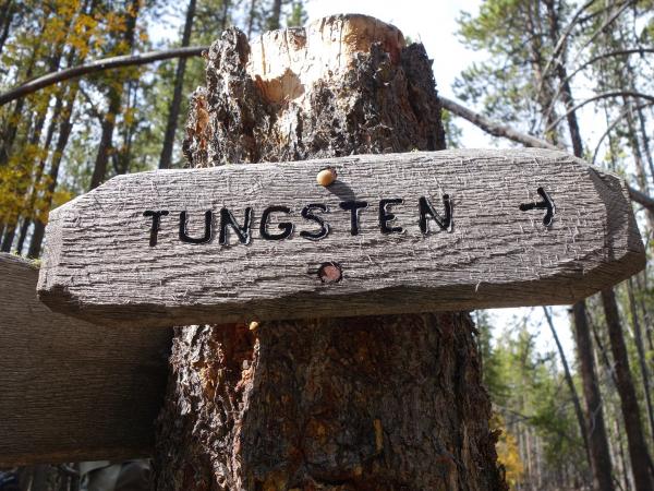
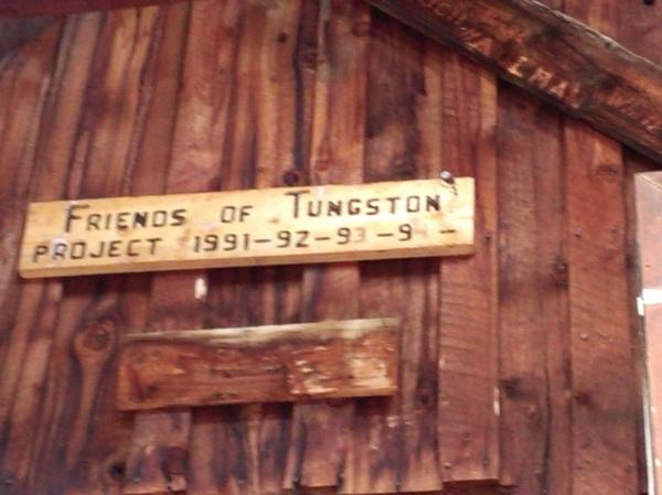
To continue your loop, the Boundary trail heading east continues on a high traverse through open terrain in this area, passing through aptly named Apex Pass, at 7800 feet, the highest point of this hike. About a mile from Apex Pass, arrive at a junction with the Tungsten trail (534). Note that the Tungsten trail junction lies below the Tungsten Mine buildings and mine shaft structure. It can be a little tough to find as there are a number of social trails in the area, however if you go downhill from the mine buildings and mine shaft, you will find it. You could easily spend a few hours at Tungsten Mine exploring the old cabins, mining equipment, a random bathtub, a double seated outhouse and other relics in the area. There is even a horseshoe pit! There are a couple camps just outside of Tungsten Mine area; however, it is not recommended to stay in and around the cabins due to the potentially disease-carrying rodents that inhabit the cabins. There are some decent camp sites along the area of the sign for Tungsten Trail #534 on our left. Somewhere before the Horseshoe Creek.
Turn right onto this trail and continue on a gentle downhill grade for six miles to reconnect with the Chewuch Trail. This marks the end of the lollipop portion of your loop—you’ll retrace your steps along the Chewuch River & Chewuch Trail 510A for 5.5 miles back to your car. Trail description
Cathedral Driveway Trail 510A
This 2 mile trail begins at the Chewuch Trailhead and is in the Pasayten Wilderness. The junction with the Windy Creek Trail #362 is approximately half way down the trail. The Cathedral Driveway Trail #510A ends at the junction with the Chewuch Trail #510. Most of the trail is steep as it descends to the Chewuch River and is rated most difficult, but allows good scenic views up and down the Chewuch River drainage and surrounding mountains. Stock handlers should be experienced. Water is available along the trail.
Tungsten Trail #534
6) Hike Cathedral Driveway Trail #510A for 2.2 miles, to the intersection with Chewuch Trail #510 (~4200’ elevation).
7) Hike Chewuch Trail #510 for 3.6 miles, to the intersection with Tungsten Creek Trail #534 (~4700’ elevation).
8 ) Hike Tungsten Creek Trail #534 for 6.2 miles, to the intersection with Boundary Trail #533 (~6750’ elevation). This intersection is located at the site of the Tungsten Mine Camp, on the south side of Wolframite Mountain.
|
